
Searching for changing sceneries? Small paths in the woods, in the meadows, through the heather and passing by many small fens? Hiking trail Frog is exactly for you. The hike is located in drinking water extraction area. Quite a few differences in altitude (for the region) offers variations and challenges. Children might especially be interested as you will pass 11 small fens housing rare plants and animals. Depending precipitation and season the fens are either booming with life or might be dried up. Spotting frogs is guaranteed.
Only one way waymarked (clockwise). As per 1 September 2023 the brasserie, including toilet block, is closed. Parking is still available.
(this one is translated though)

How many frogs can you spot? I was only able to count them after they jumped into the water (there should be at least three in this pic, good luck!) 
Love this sort of pathways 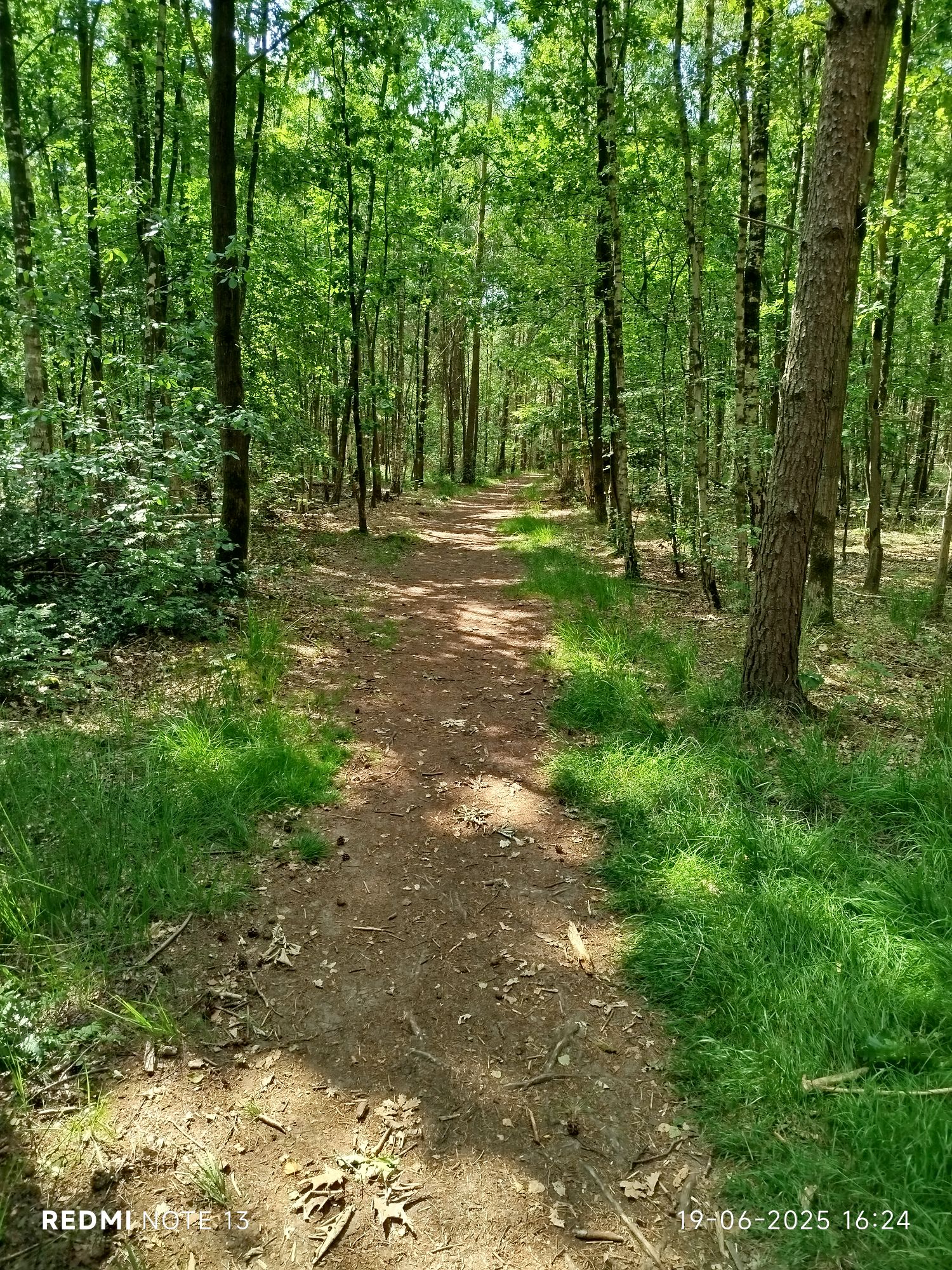
Love this sort of pathways #2 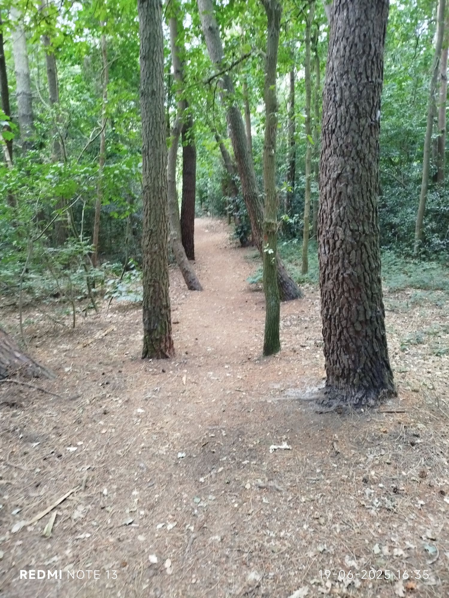
Love this sort of pathways #3 (guard of honour) 
Unusual green patch 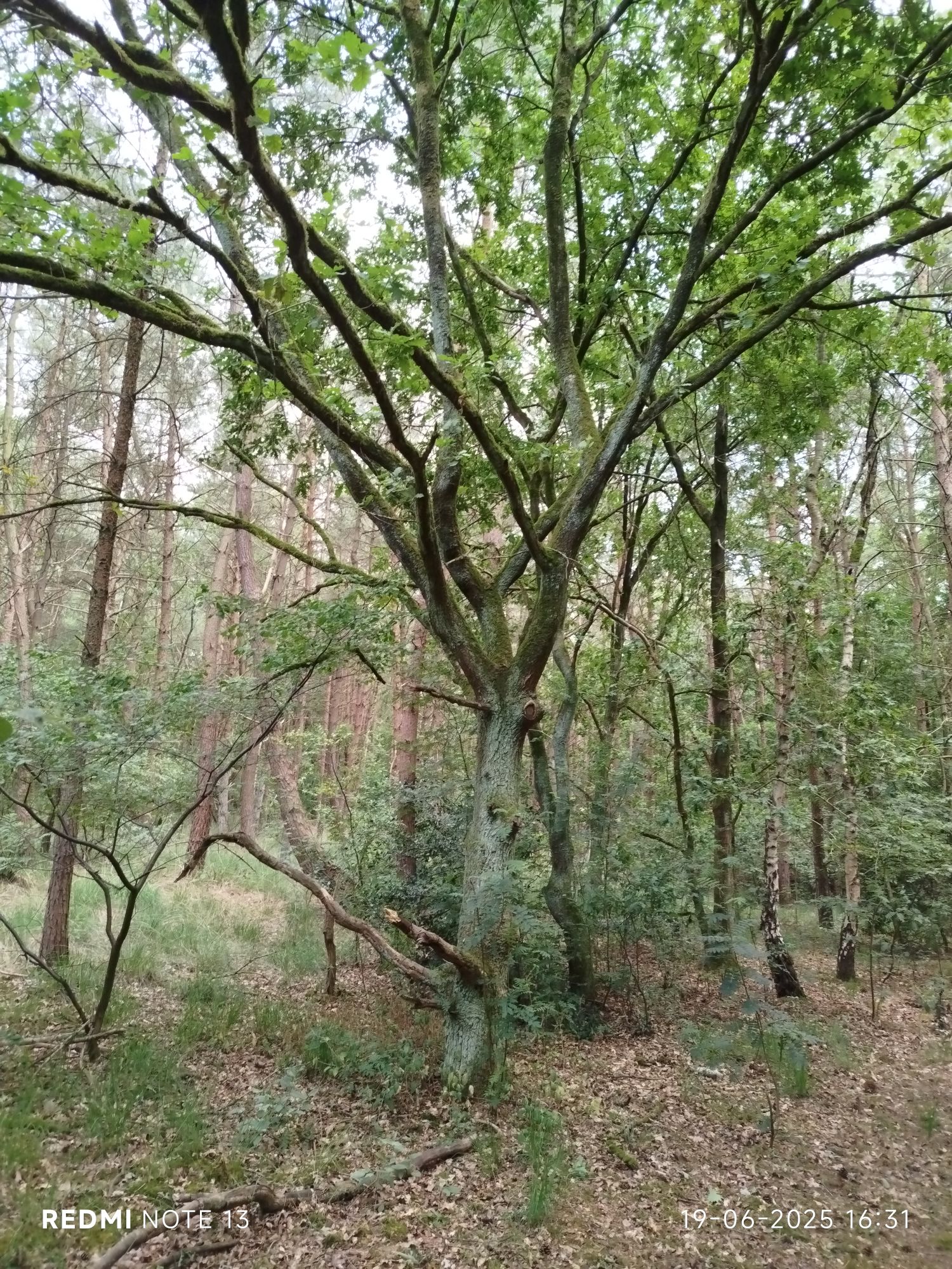
Fascinates me, those chaotic trees 
Showing the encarpment 
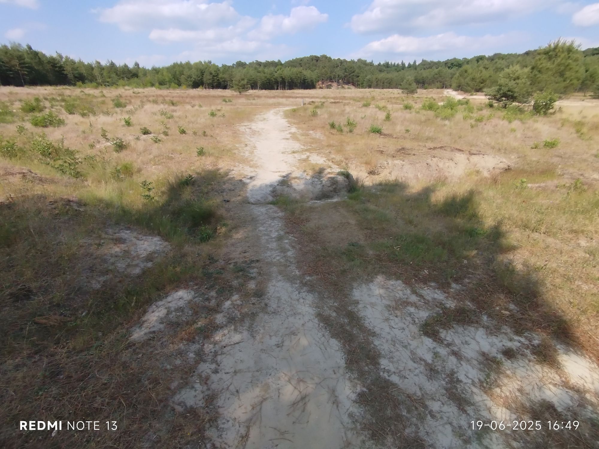
Showing the encarpment #2 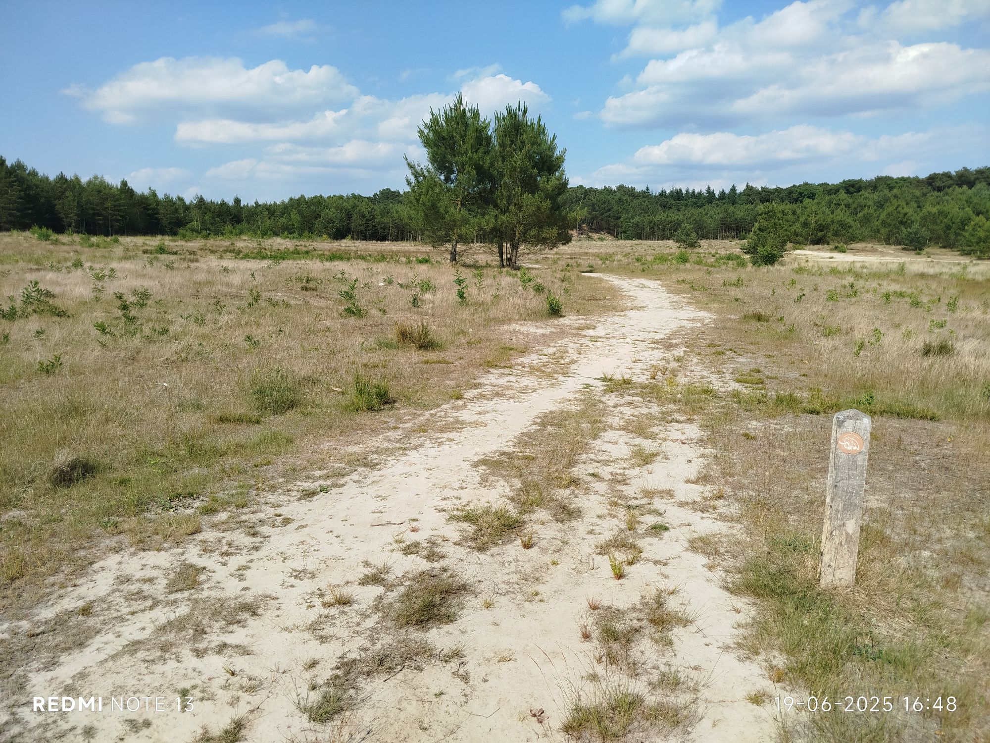
Showing the encarpment #3 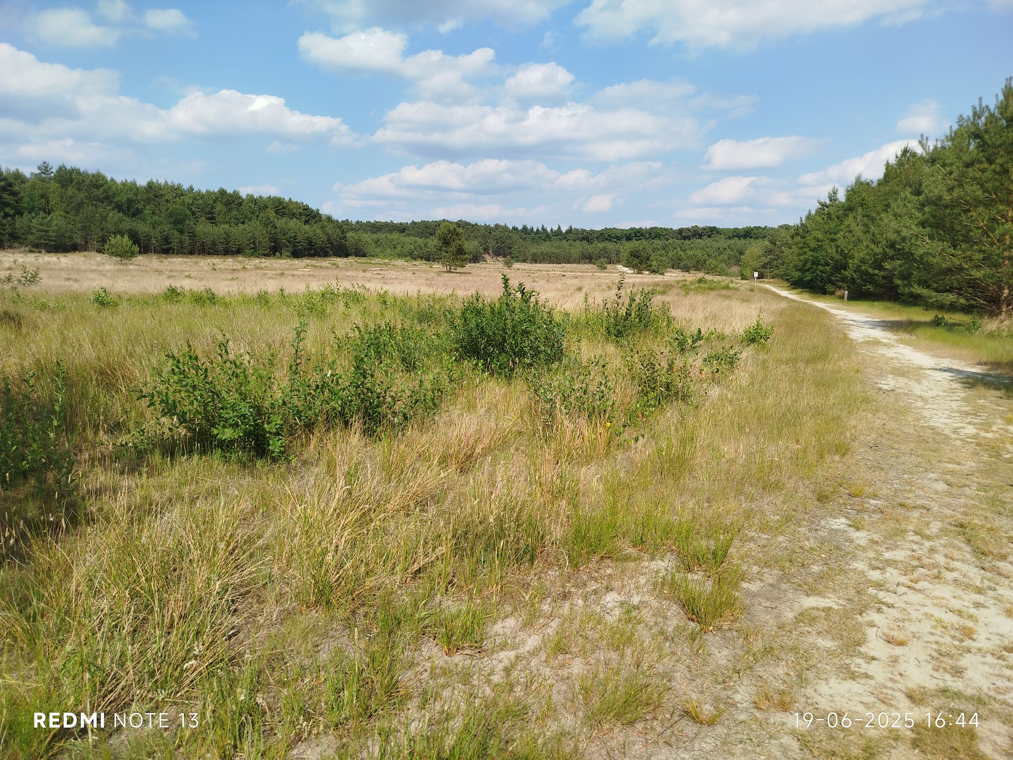
Showing the encarpment #4 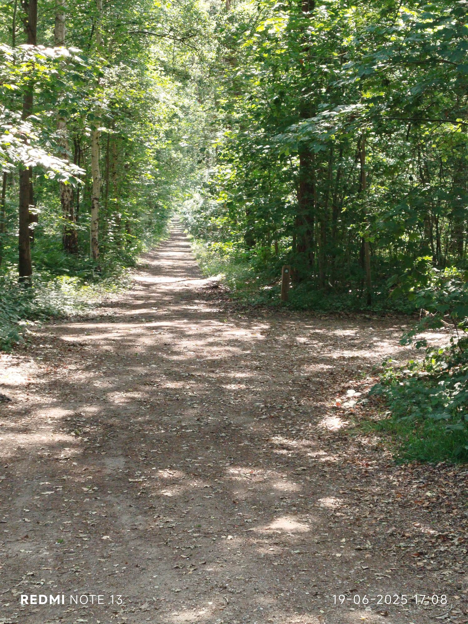
Back into the woods 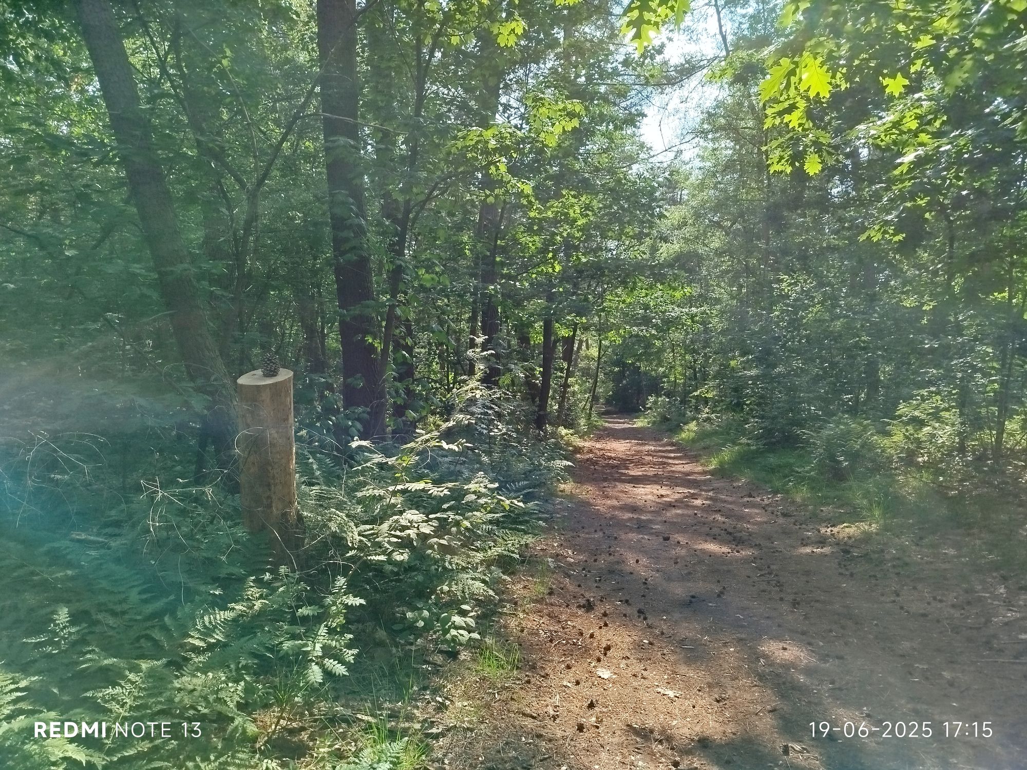
Remember my signature? 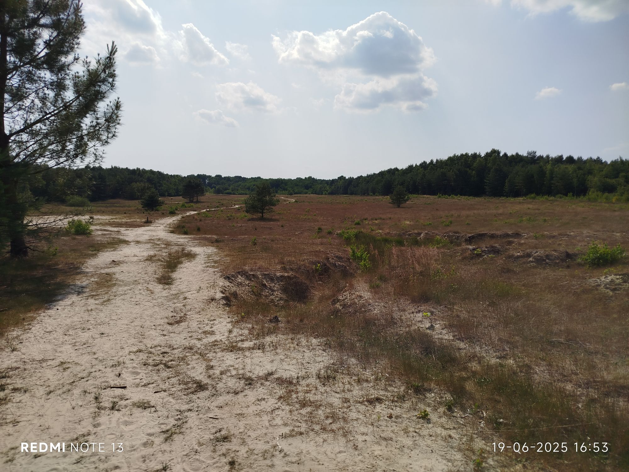
Showing the encarpment #5 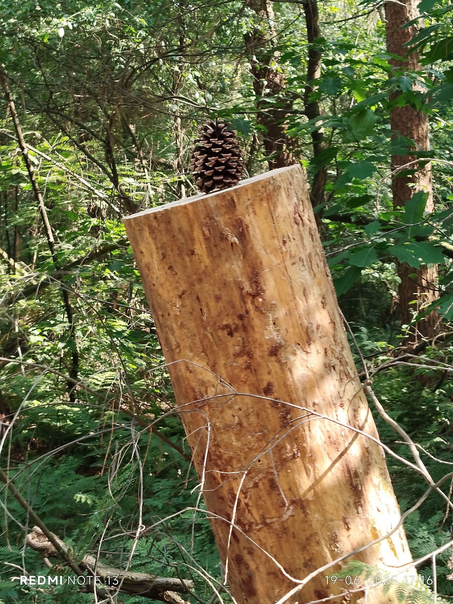
Oh no, Celtic Belgae was here… 
Old brick factory 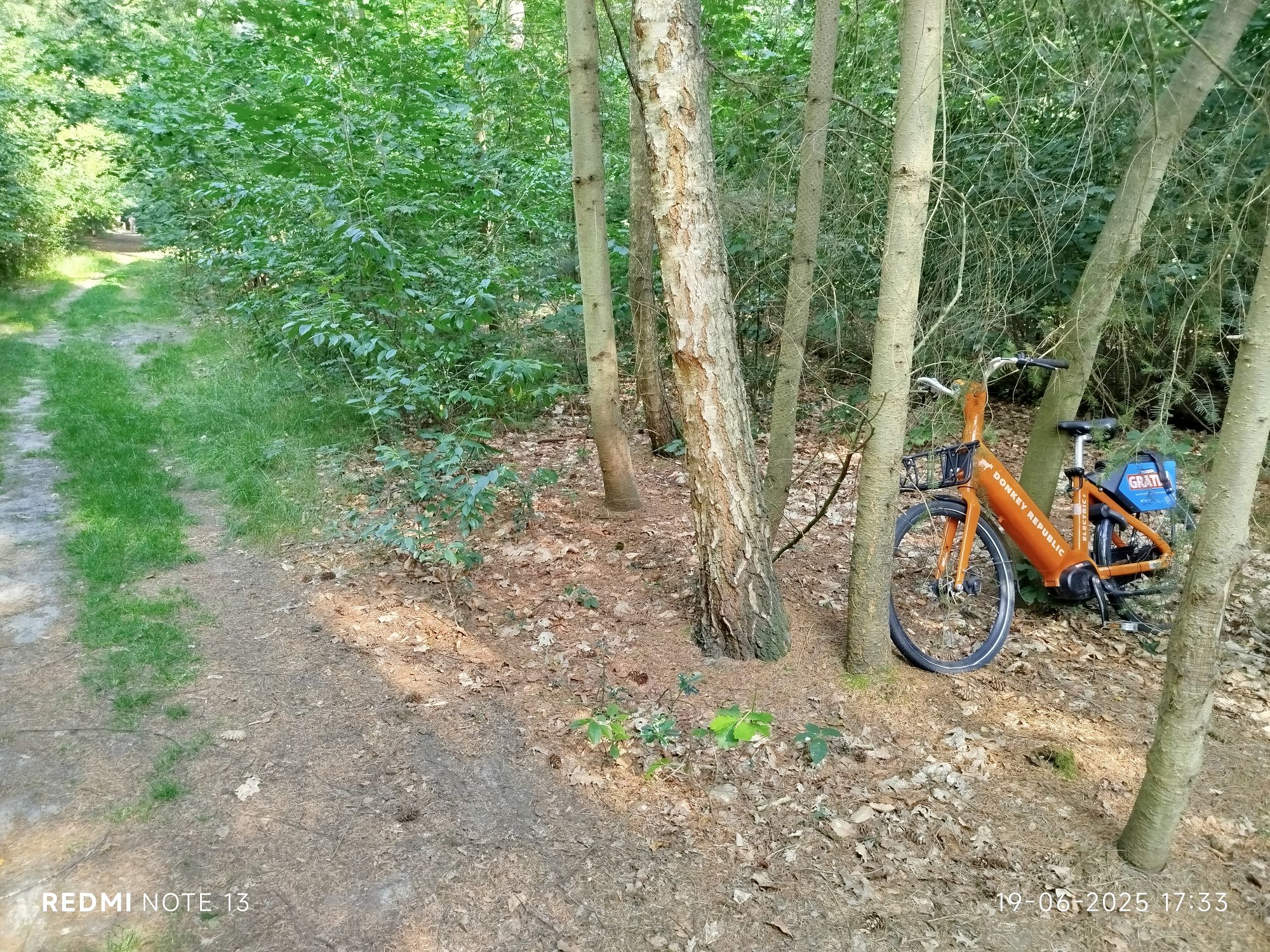
#donkeyrepublic 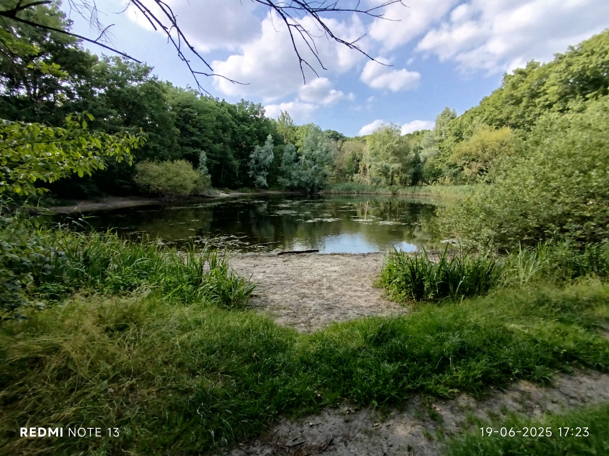
Another fen 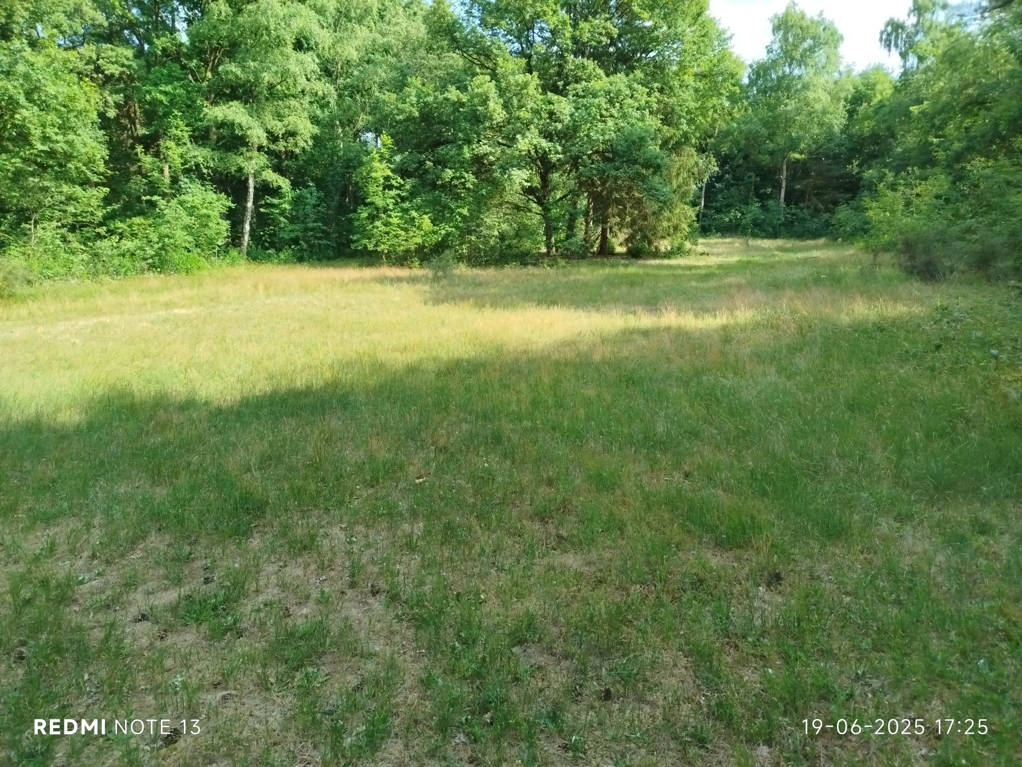
In the middle of the woods a green patch of grass, interestingly greener than most home gardens I saw on the way back home 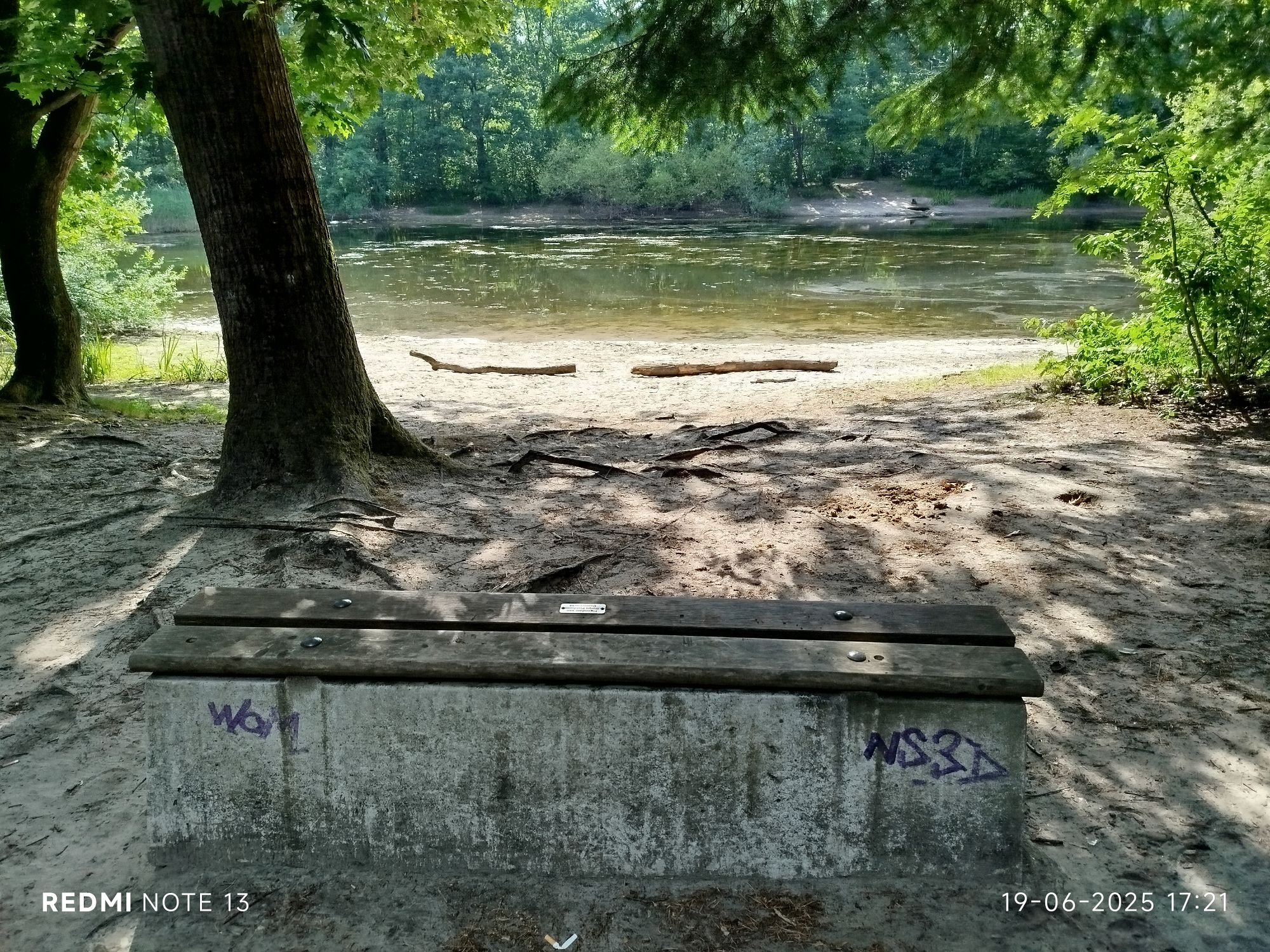
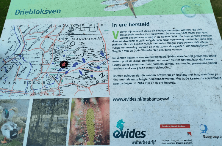
Wassche Ven (lit. washing fen for sheep before being shaven but also for washing of clothes) 
Natural avenueThr 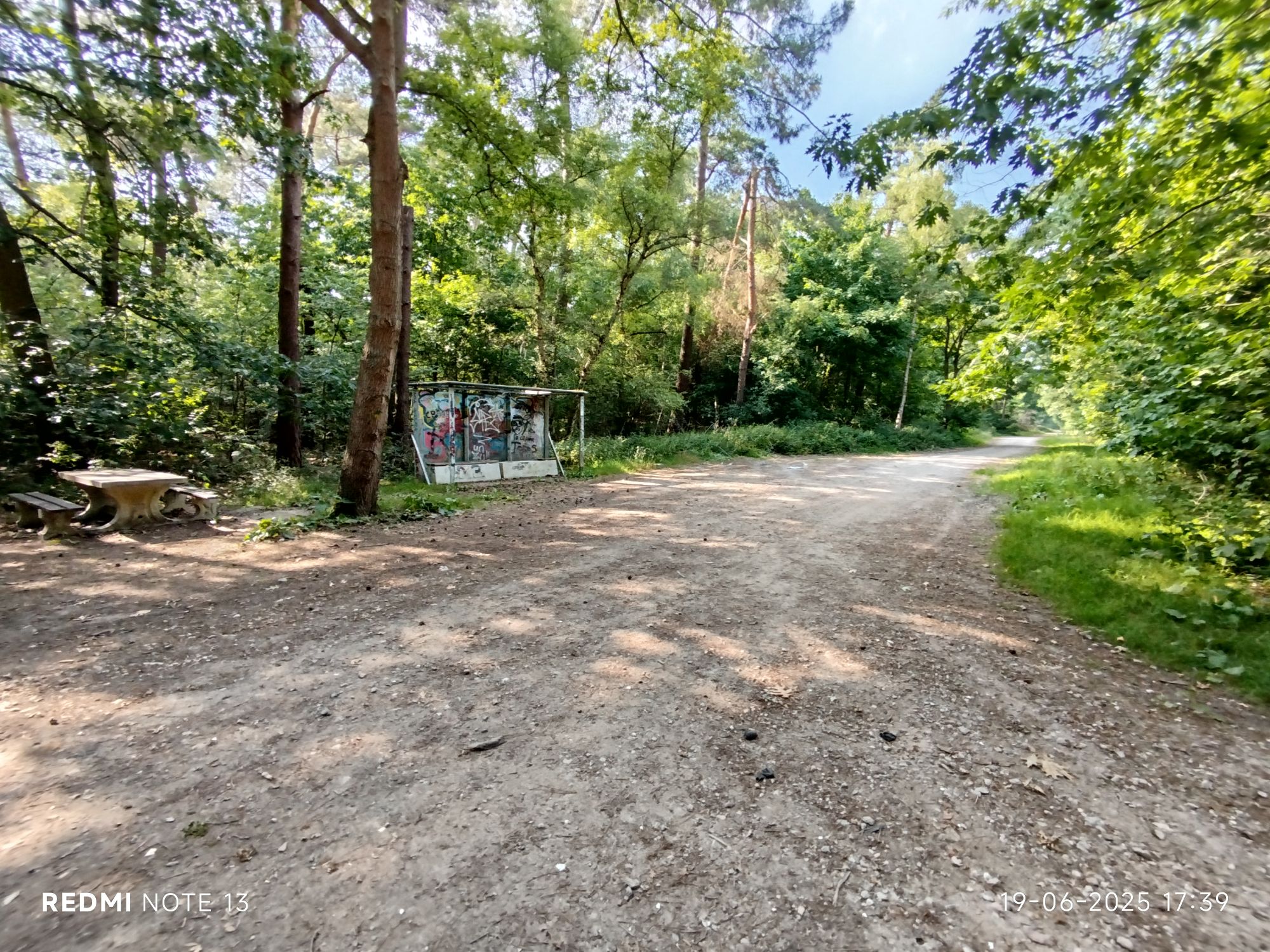
Water extraction area 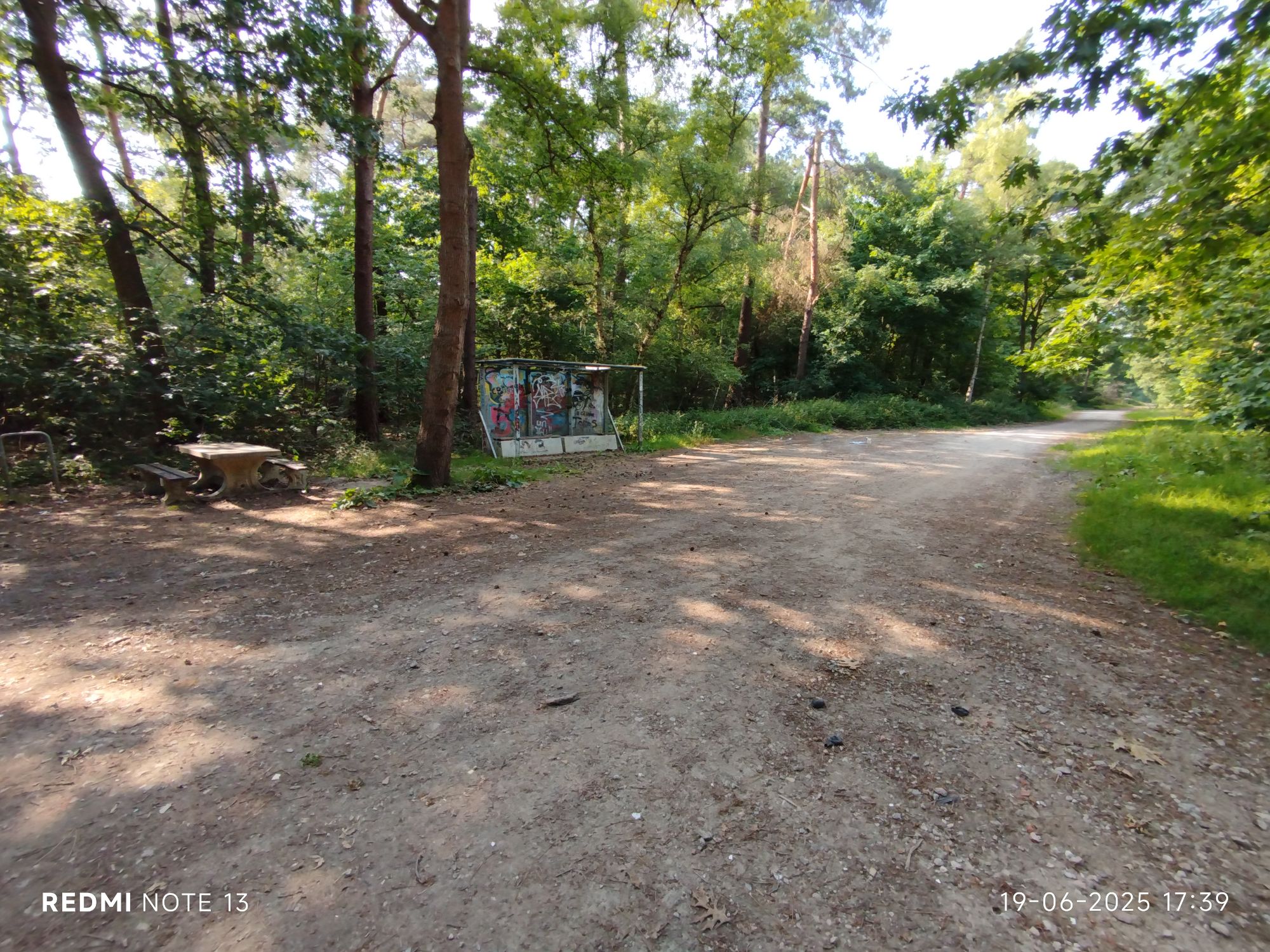
Water extraction area #2 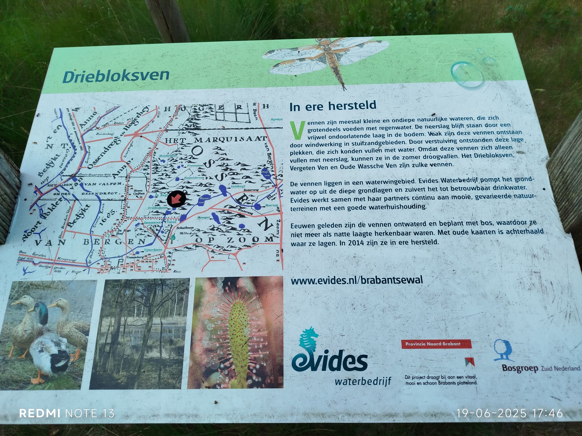
Many fens were lost but since 2014 many in this area were re-established 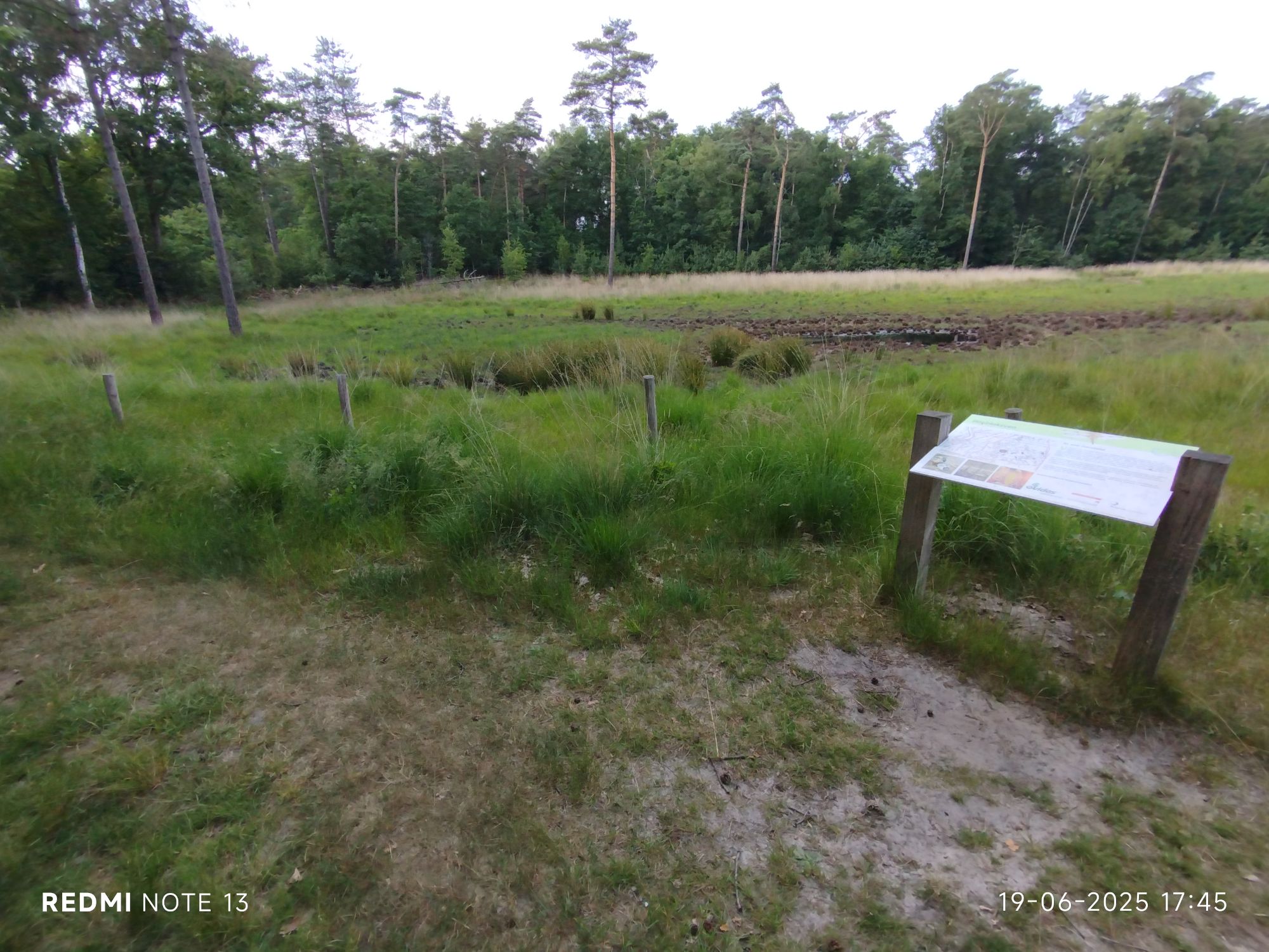
Three Blocks Fen (dried up but re-established since 2014 after they were “filled up with trash and aforrested) 
Three Blocks Fen 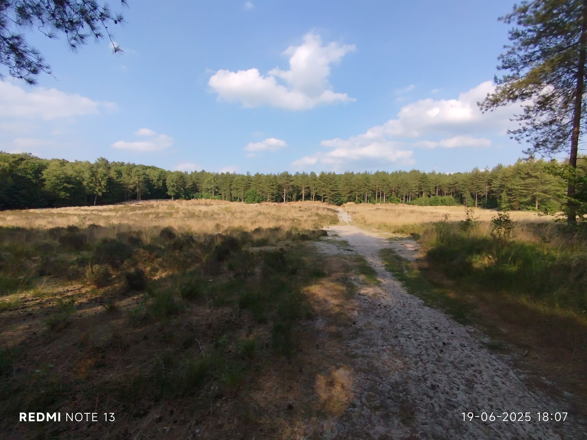
Another look at the encarpment 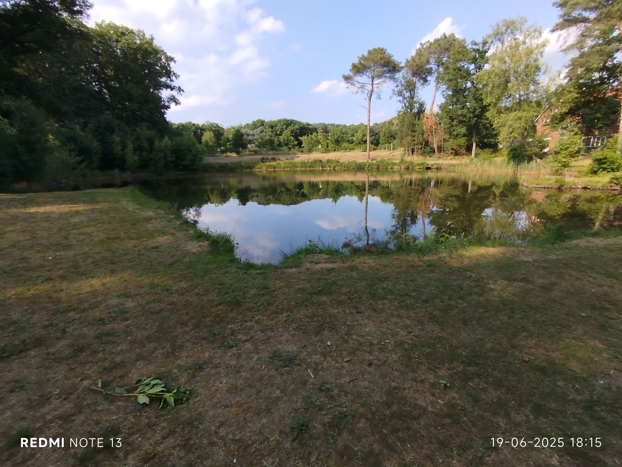
Fen 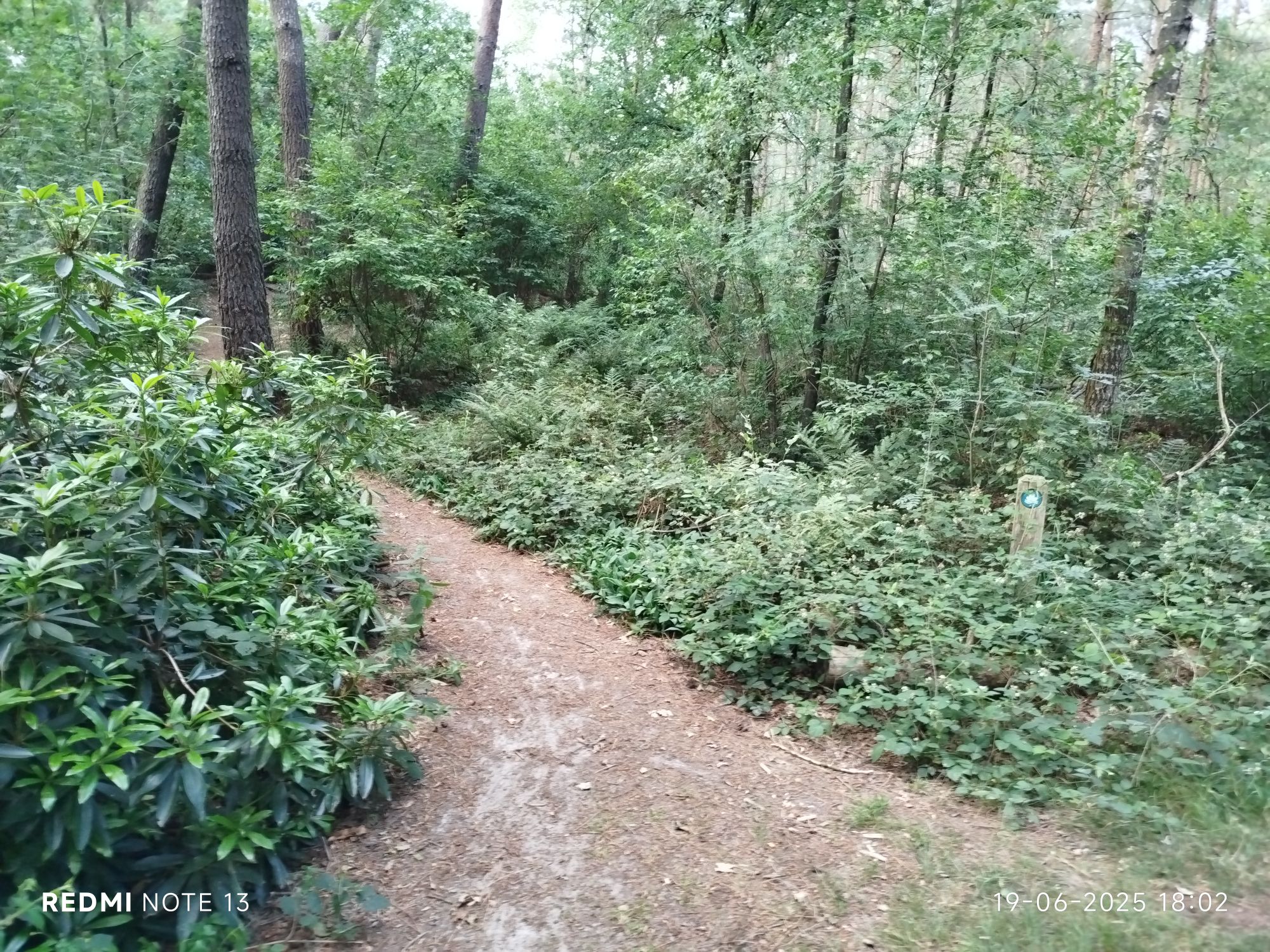
And sometimes you just pass by a waymark. 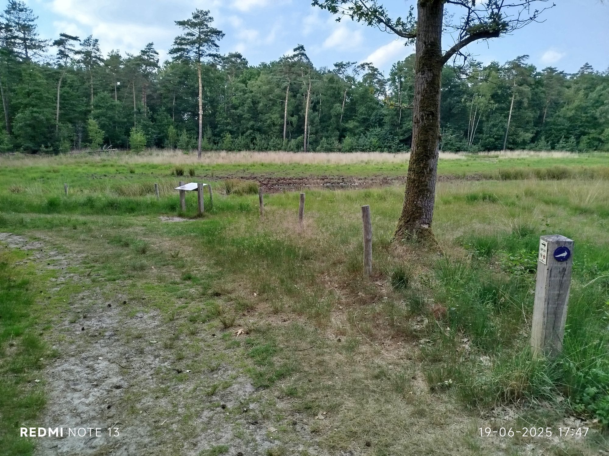
Another trail crosses here (peacock), here you see the last drops in Three Blocks Fen 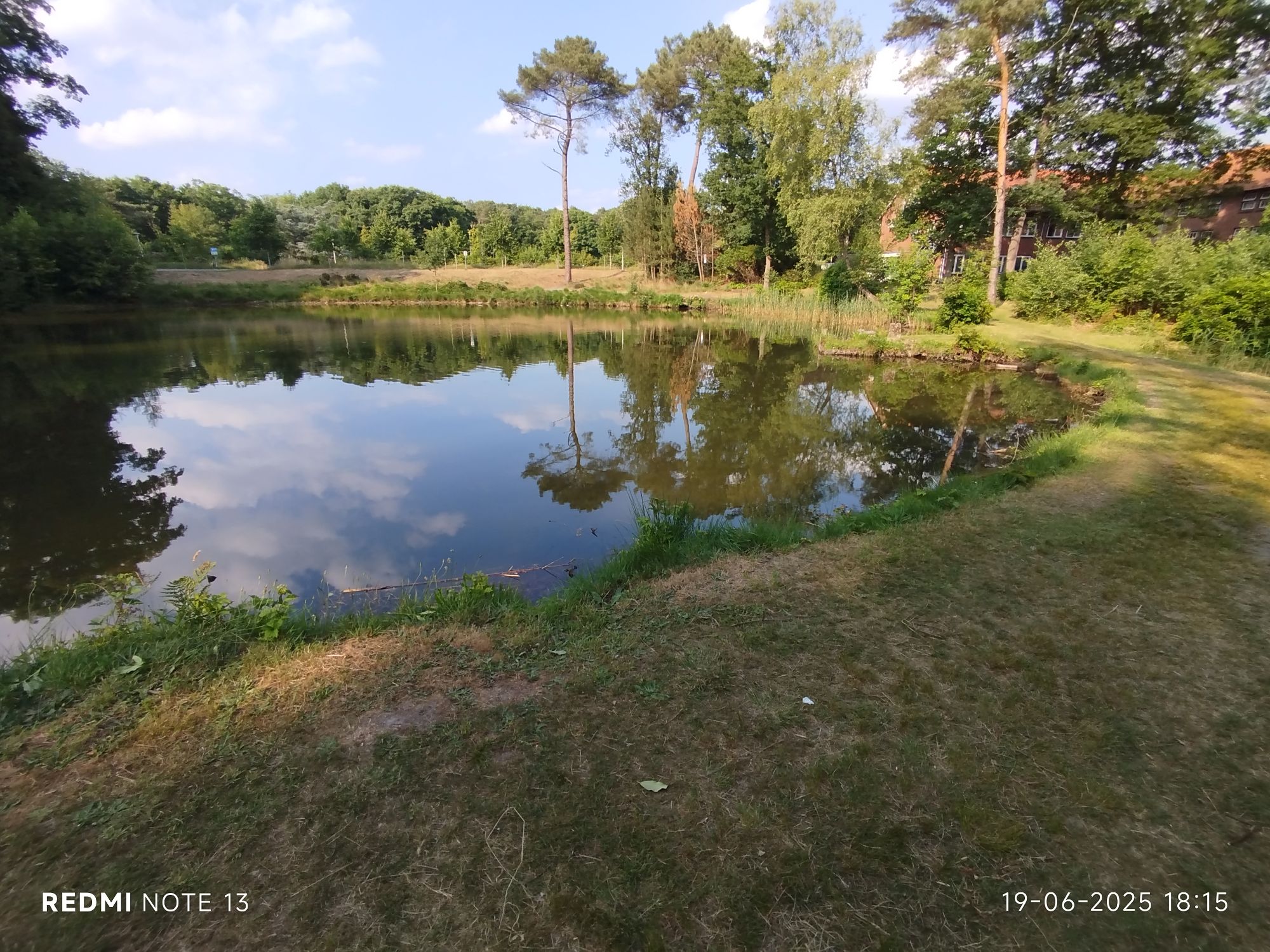
Not a fen but a fishing pond (got ya!) 
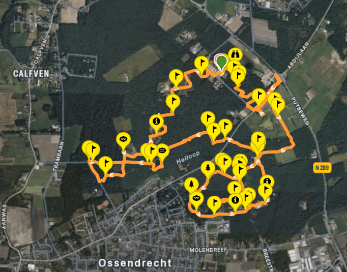
My route
Today I commenced my hike in the afternoon. Temperatures indoors (28°C or 83°F) didn’t cool down enough for my likes and outside temps were more manageable, except when in direct sunlight. I noticed to the end of my hike that my foot was still not fully recovered. I will certainly plan in an extra recuperation day tomorrow.
Today’s starting point for the hiking trails are only 8mi (13km) cycling.
I was not impressed the first mile or so. Plenty of garbage along the trail although the visitor center and brasserie have been closed since 2023. Once I crossed the road the trail was a lot less littered with discarded cups, cans, wrappers, etc. Please do not reply, complain or believe this is due to the fact a (predominantly white, just fyi) refugee camp is at the location nowadays. Plenty of trash is thrown all over the park. It is a human problem, not a race or ethnic issue.
The first part of the hike is actually a small secluded area with a few fens and poems.
Once you cross the road, after I retrieved the path, the views have immediately changed: horses in the meadows. I was not aware the trail crossed the road, hence me losing the trail for a few moments. The meadows soon made way for woodlands, cooler temperatures and shadow made my pale skin happy.
Before halfway I lost track once more. I misinterpreted a signpost. The trail was very diverse, fens were popping up every now and then. I learned that these fens were filled up in olden times (many centuries ago) in favour of trees. Since 2014 these fens were reinstated based on old maps. The map below mentions 1685 (Not sure if it is an 8 though) and you may be aware that the Netherlands, back then including Belgium, have been battling water since forever. The language on the map is certainly Old Dutch, recognisable but weird. In the seventeenth century our area was involved in the Eighty Year’s War (part of the European Wars of Religion). Besides the water also other nations were interested in our region. At that time it was Spain that enforced catholicism and basically creating a divide between the Netherlands and Belgium already. Belgium only gained independence 1830, but non-catholics (protestants) moved up north whilst Belgium remained largely catholic. Not going to much into the history of the area but it shows that I mix ease of mind I obtain from my hikes with etymology and history.
Perhaps the reason for my interest in etymology and history is because I lived most of my formative years in a border street. One side was the Netherlands and the other Belgium. that fact always intrigued me. Especially because my town is north, east and west bordered by the Netherlands, only the south links us with Belgium. For those familiar with a map of Belgium, the left bump of the three in the middle of the country is my hometown.
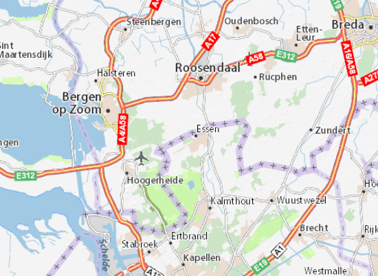
The area I hike most is the triangle Bergen op Zoom, Stabroek and Zundert (yes, van Gogh’s town). The light green being Grenspark Kalmthoutse Heide. The Dutch side is known as Brabantse Wal (Brabant Escarpment) from Ertbrand up to Halsteren. Although the complete light-green area is Grenspark Kalmthoutse Heide. Anyways, Just a bit of additional info you were probably not waiting for. You are welcome 😉
