
Aye, early morning indeed. Perhaps I should add that my region has a moderate climate, or used to be, never too cold never too hot. In the past two decades we have had more heatwaves on record than in the previous hundred years. Top ten is completed by 1939 and 1976.
Hare hiking trail starts at Ossendrechtse Duinen Zuid. A “drecht” is an old word for a creek or canal (although the link below cites another definition). “Os”, plural “ossen” should ring a bell since the English use ox/oxen. “Duin” is dune en “Zuid” is south. Dutch is simple, isn’t it?
First mention of the village was in 1187.
https://en.wikipedia.org/wiki/Drechtsteden. In Belgium, most will just be able to name on or two place names with that suffix.
I arrived at the starting point drenched (by bike). All of my clothes are supposed to be waterproof. My pants/trousers (always mix up what the Brits and what Americans use; anyways, I was decent) need a waterproofing treatment.
Most trails are sufficiently waymarked. Depending on the season some might be missing (souvenirs). The park is not that huge that will be lost for days. A gpx or map might provide you with peace of mind. In summer or during holidays it may be (too) crowded. Hence me hiking mostly during weekdays, in wintertime or come rain.
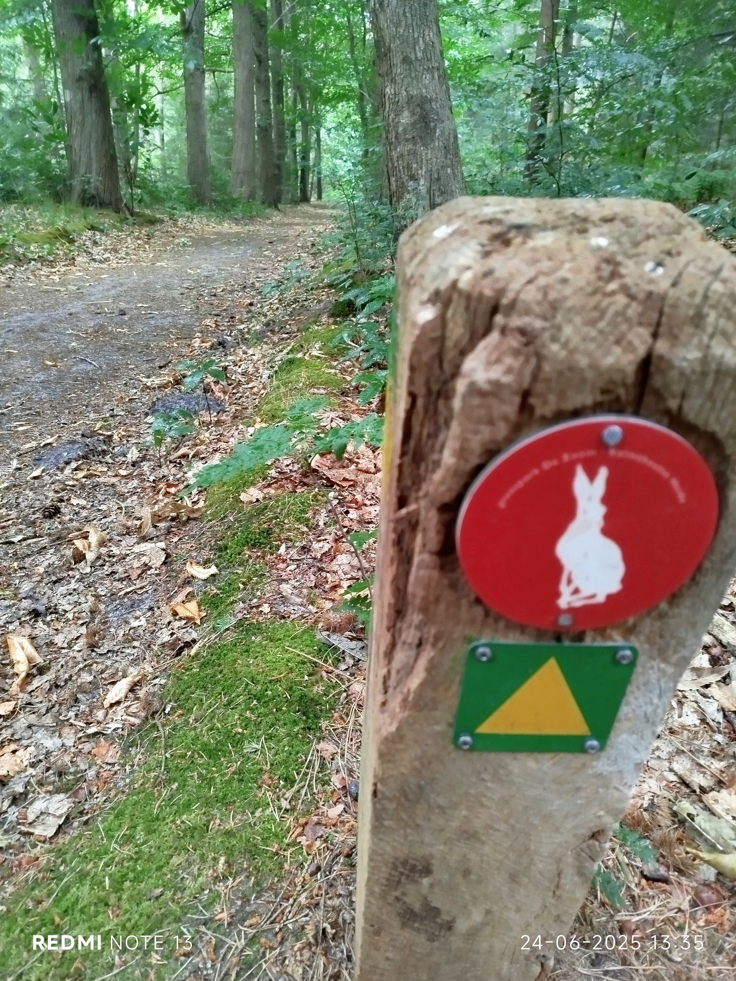
Follow the hare 
Military domain (Netherlands army). It says you can enter but are not allowed to interfere their excercises. I am still waiting for an excercise to disrupt and emulate real life circumstances… 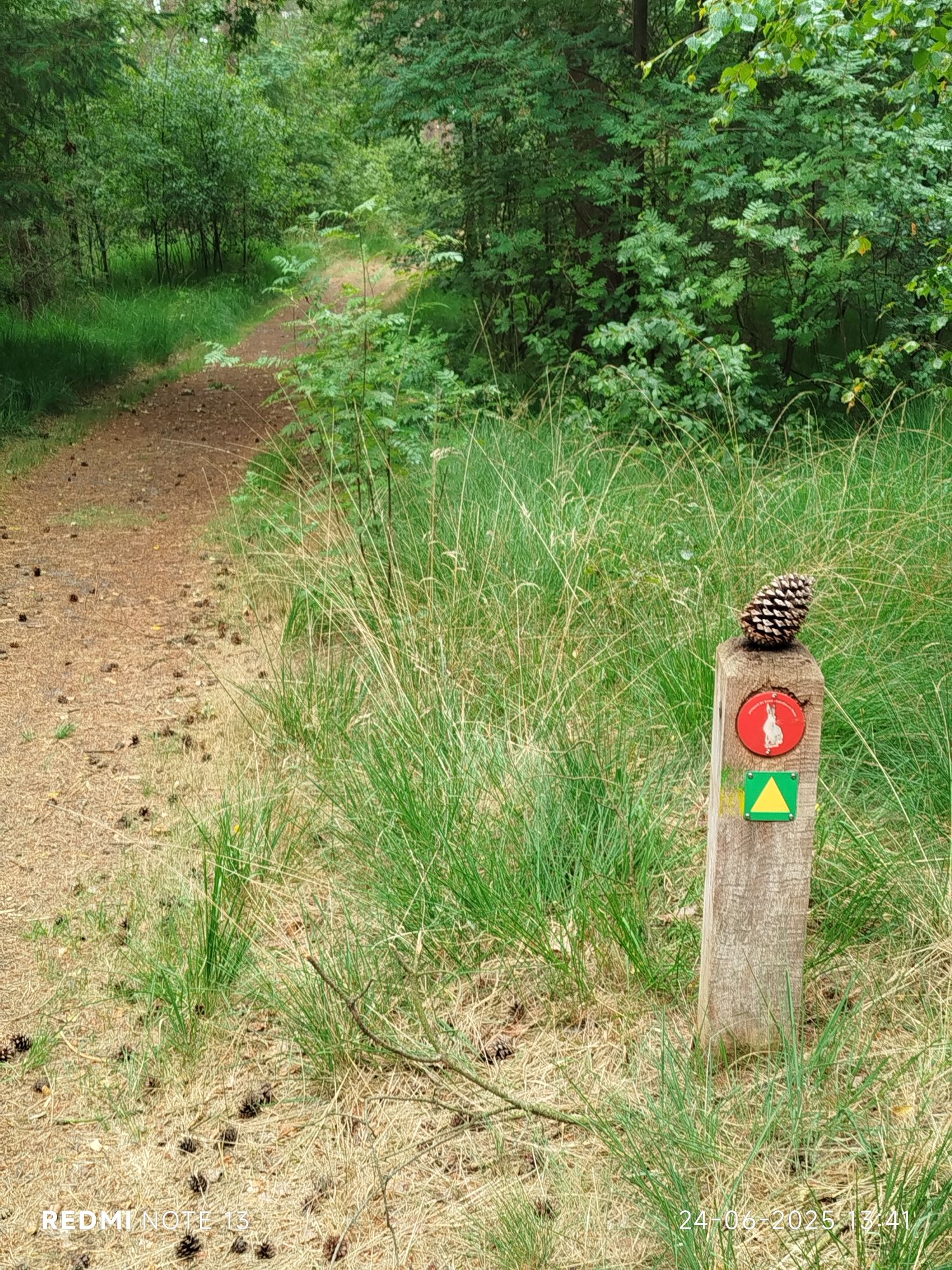
My signature 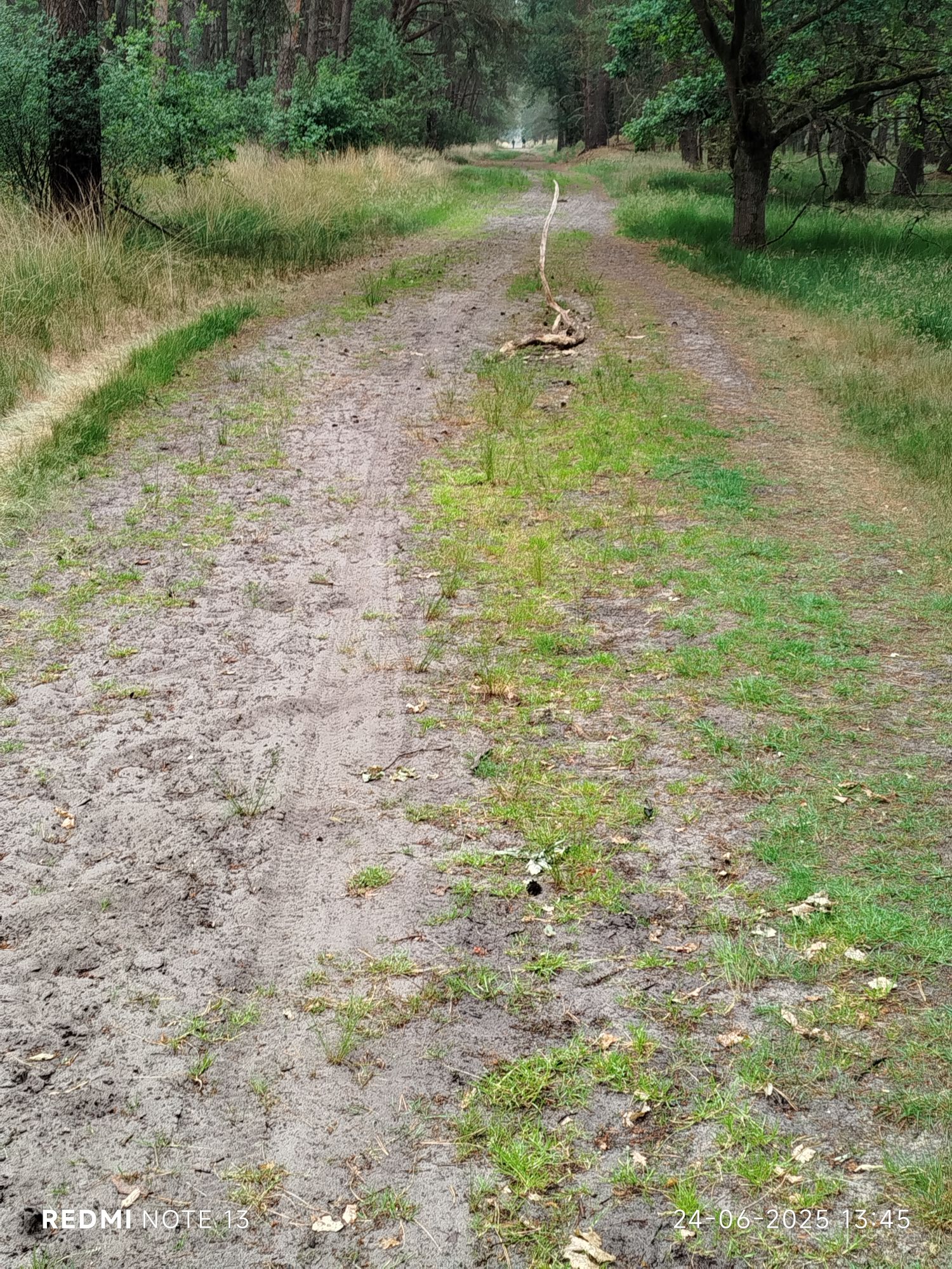
Not sure why people throw branches in puddles, now it looks weird. 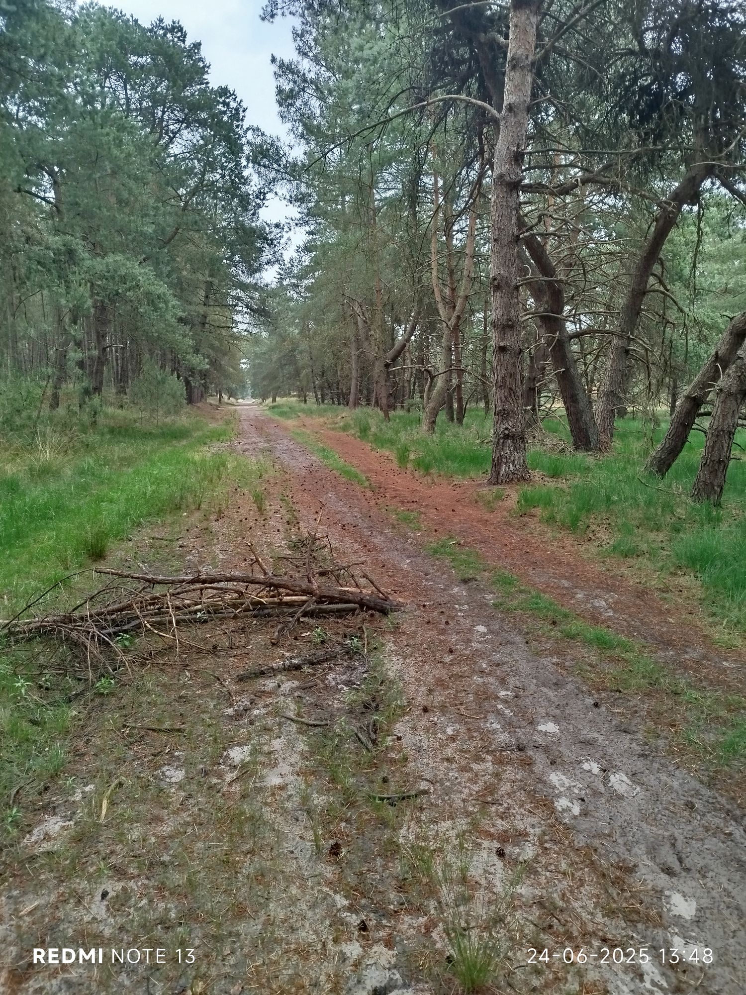
Not sure why people throw branches in puddles, now it looks weird. #2 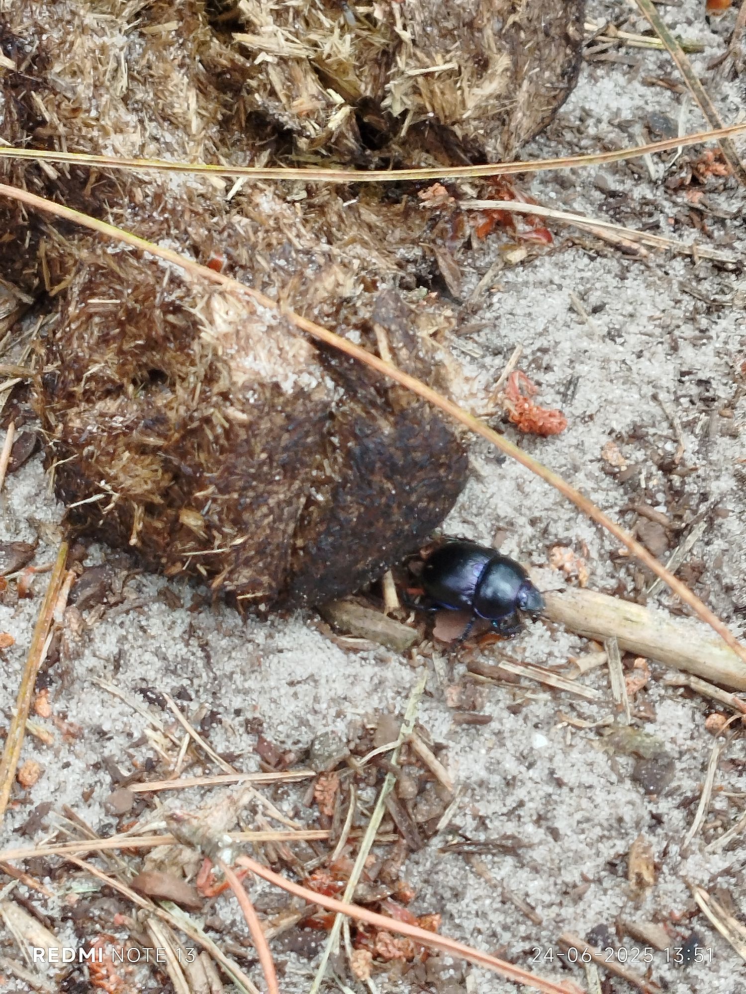
Dung beetle hard at work, Apparently in South Africa they have right of way. 

A solitary flower 
‘Take only memories, leave only footprints’ 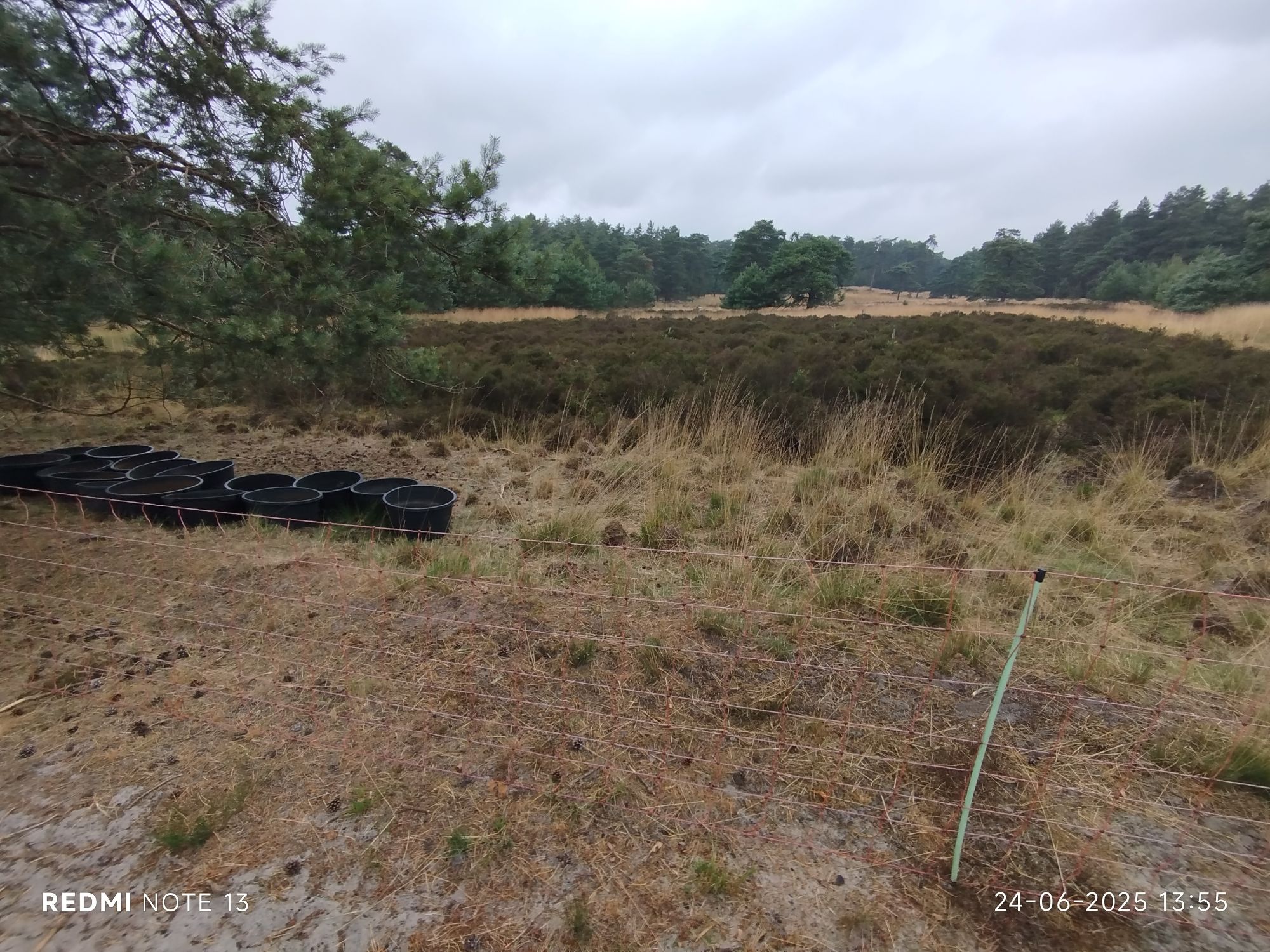
Spot the sheep. 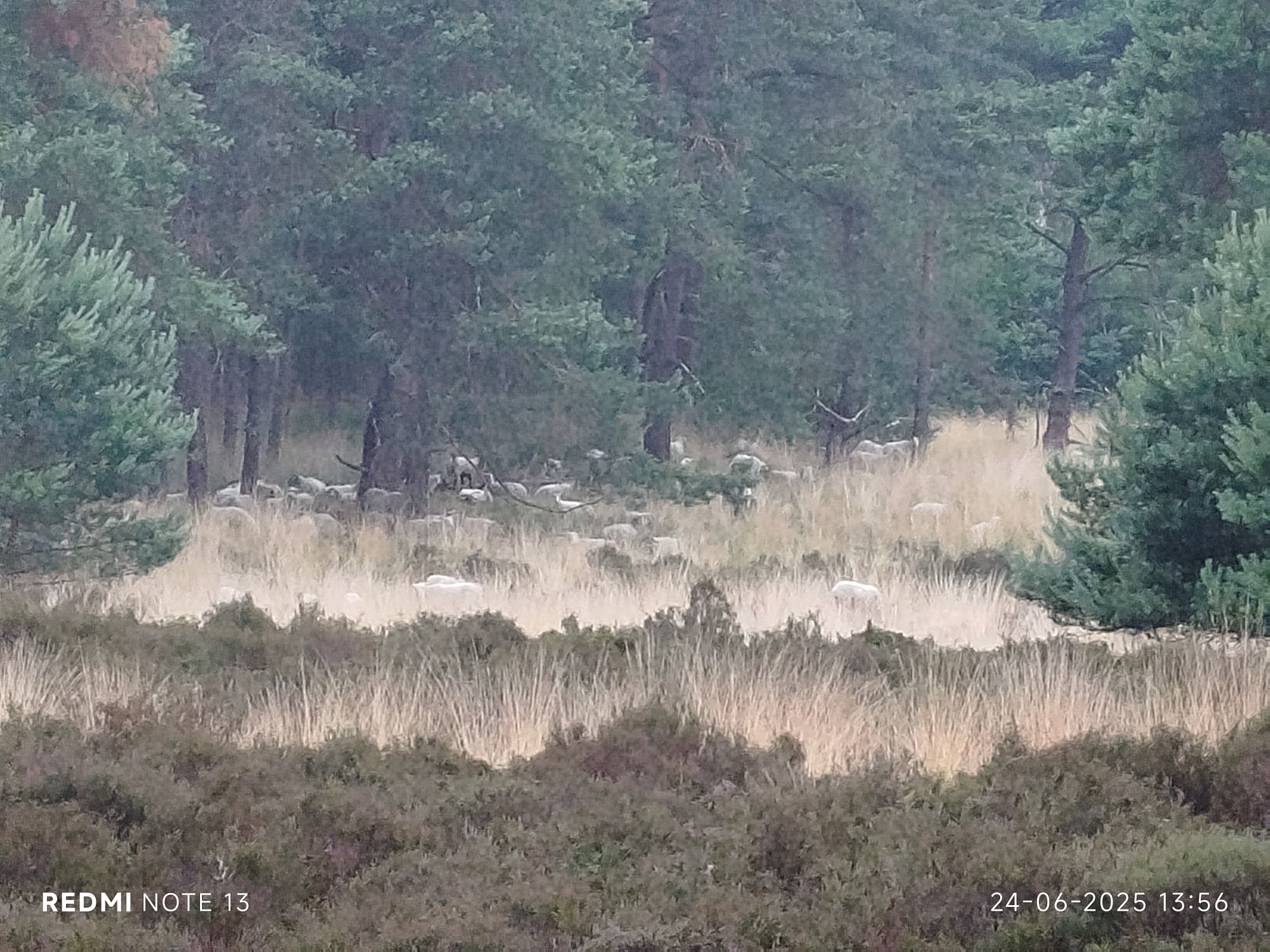
OK, I’ll zoom in. They are perfect to maintain the heather. 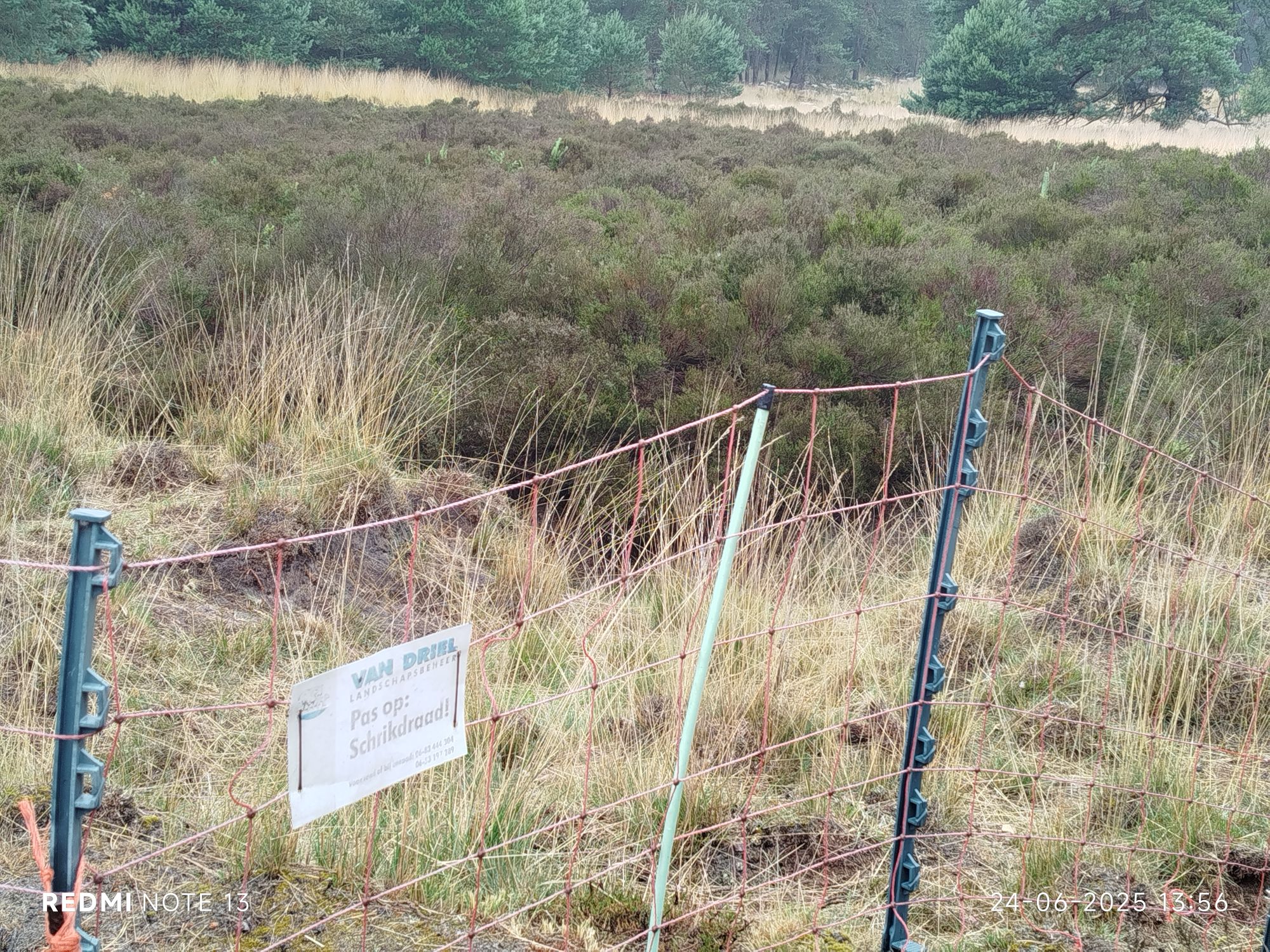
Electric fence (literally: scare wire) 
Someone had lunch here 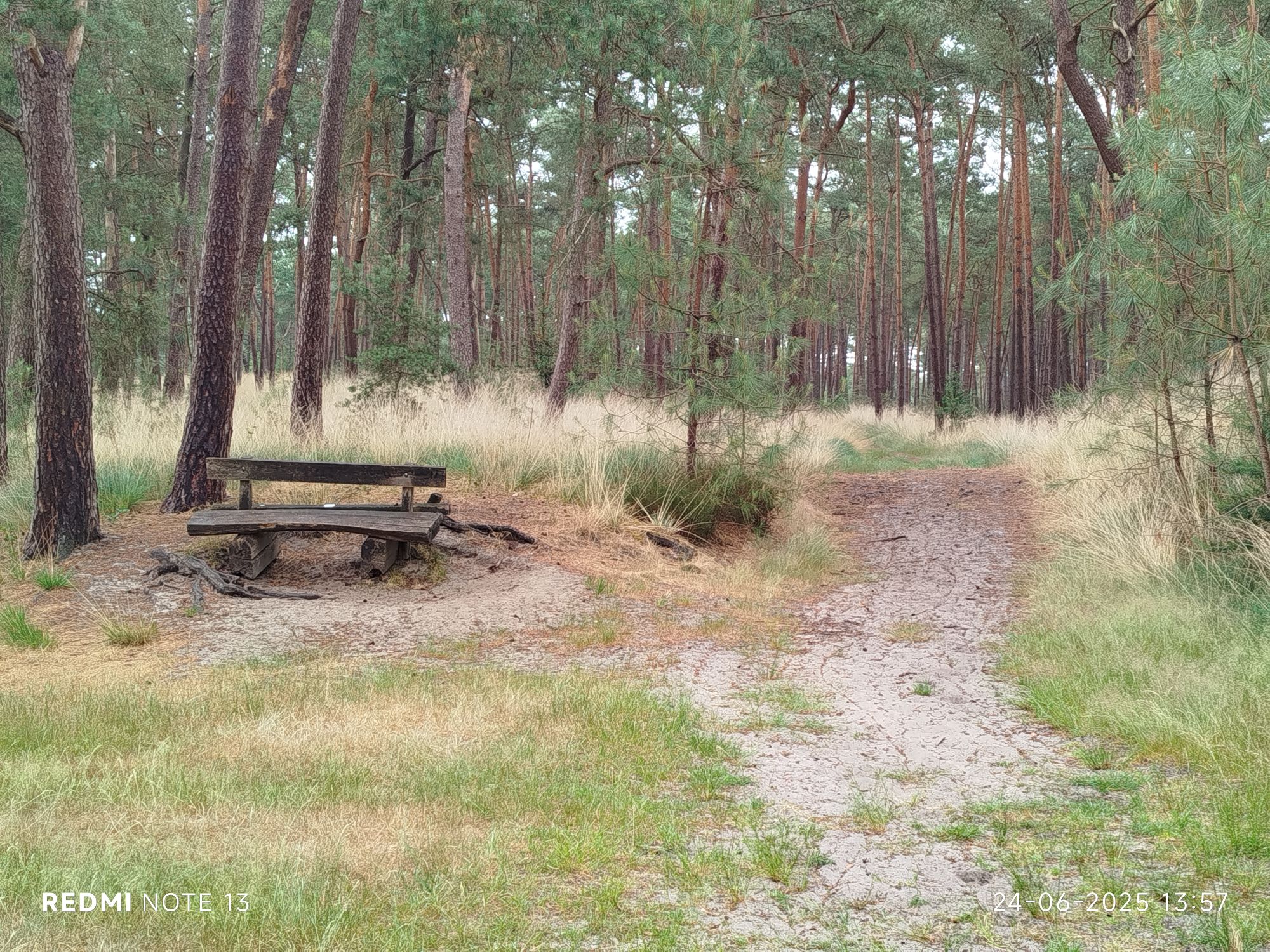
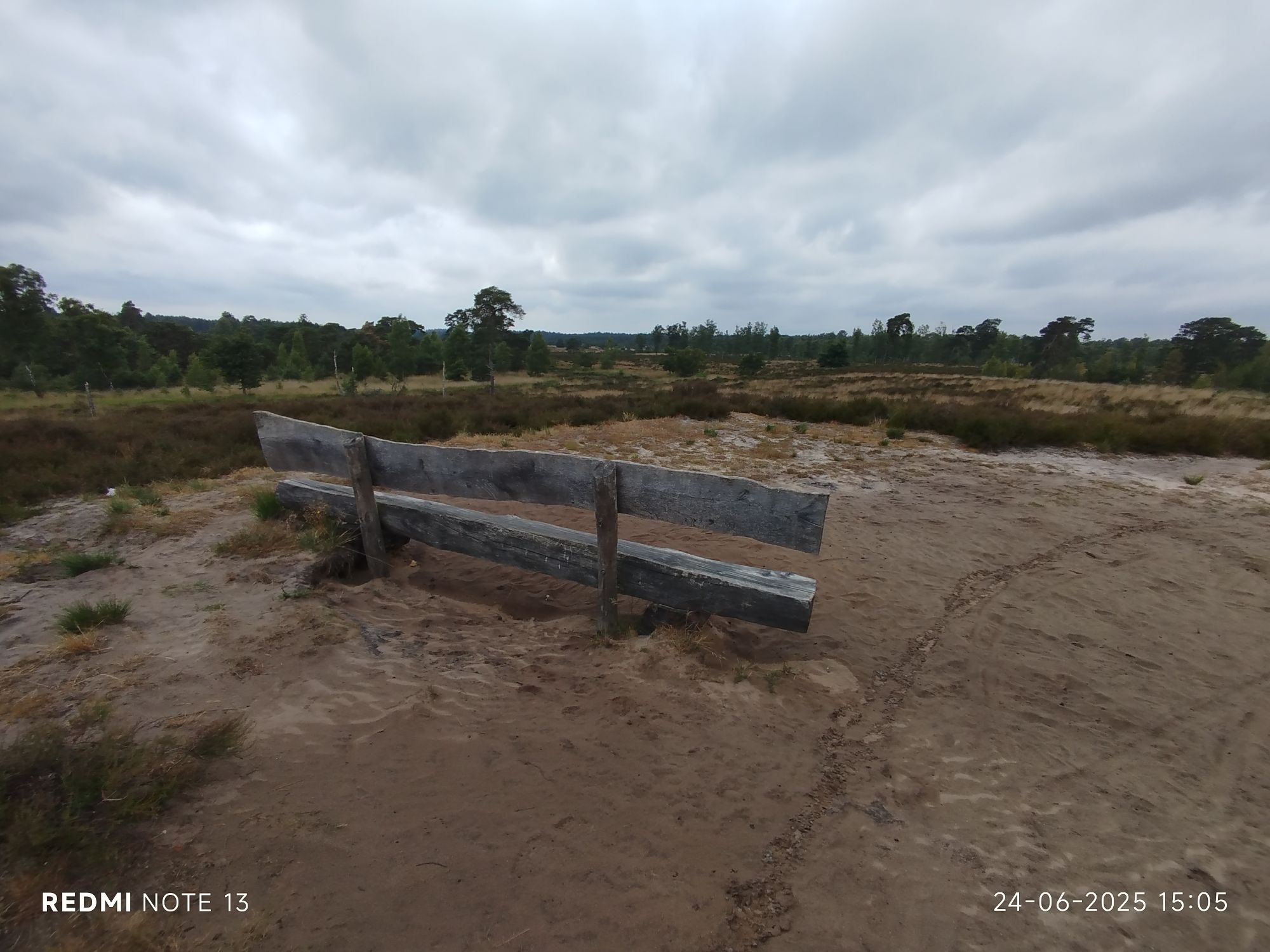
One of the many benches, warning many are not level 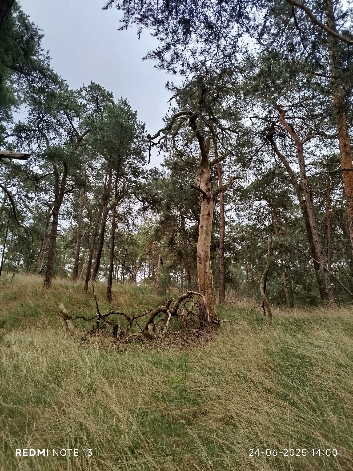
Death is life. 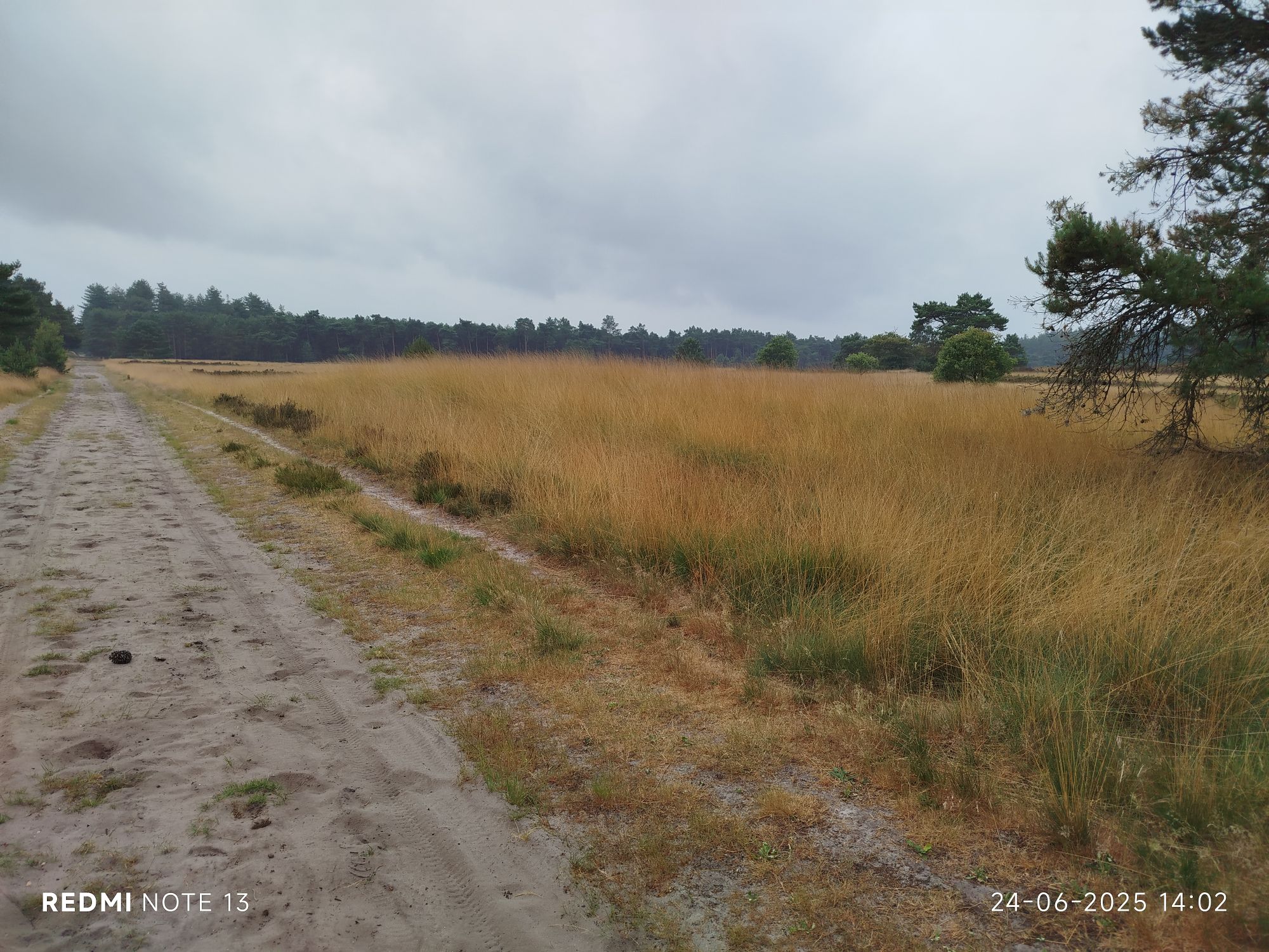
All alone for most of the hike. 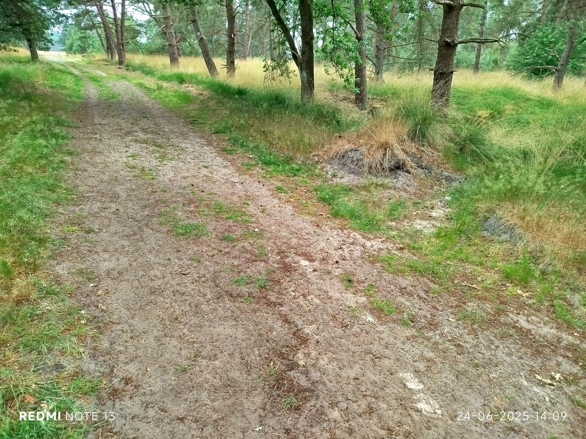
This is a recently created ditch, many paths were flooded. 
death is life 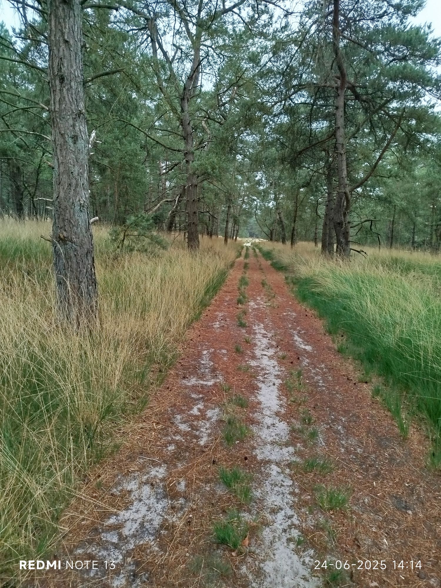
I was expecting to see more green, but already a lot of drought. 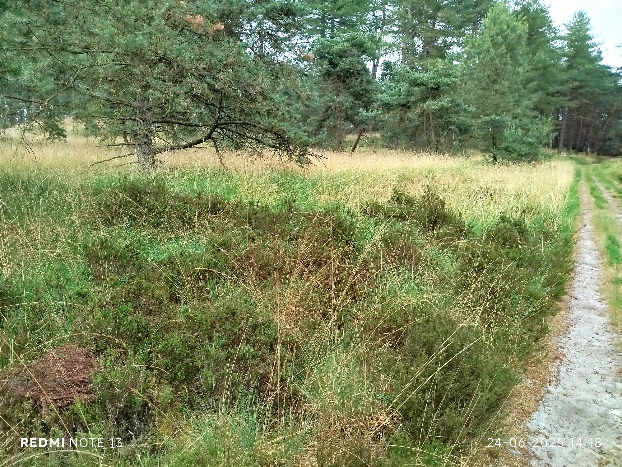
Pic did not really capture the many shades of green. It’s my fav colour. 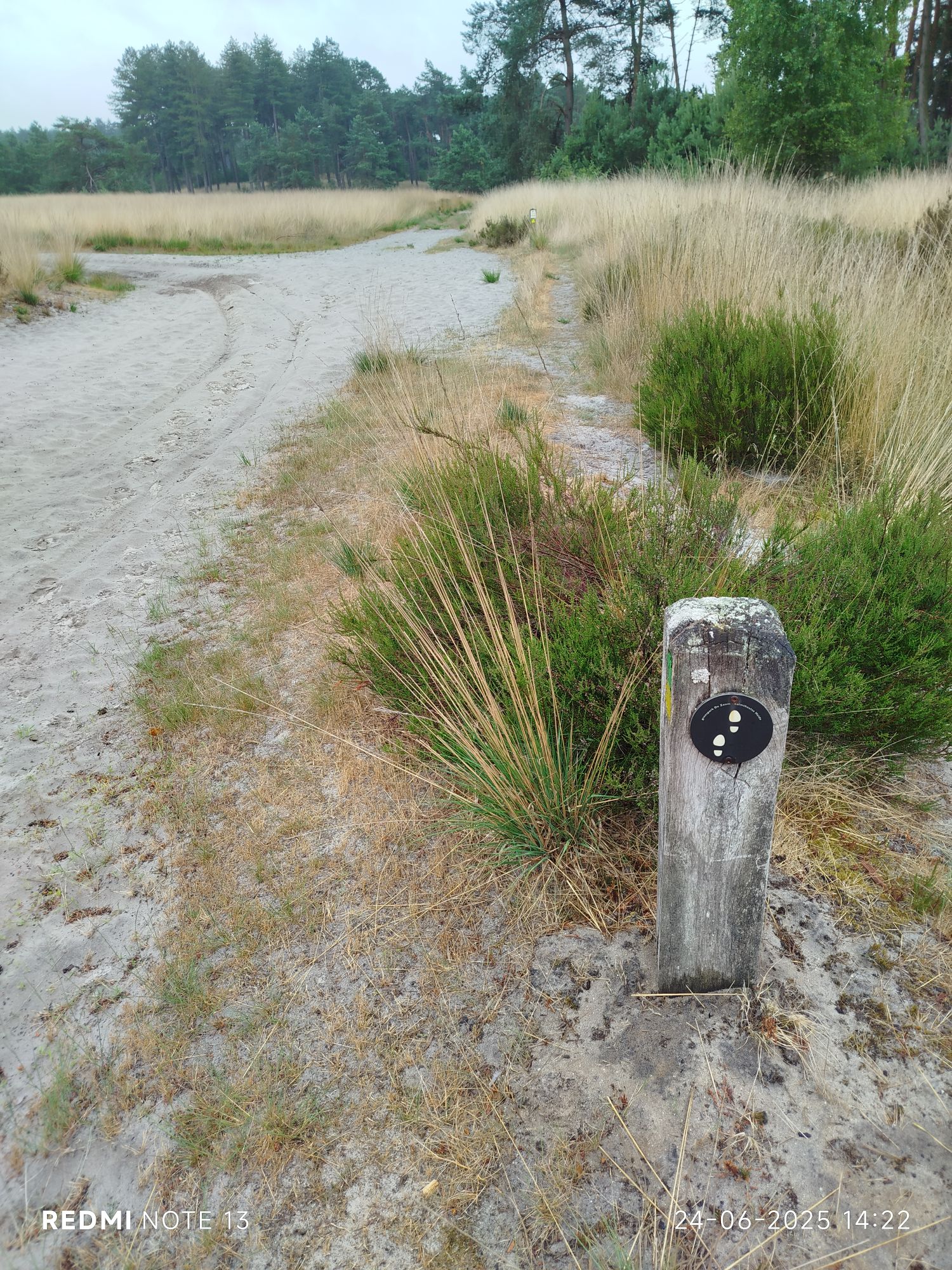
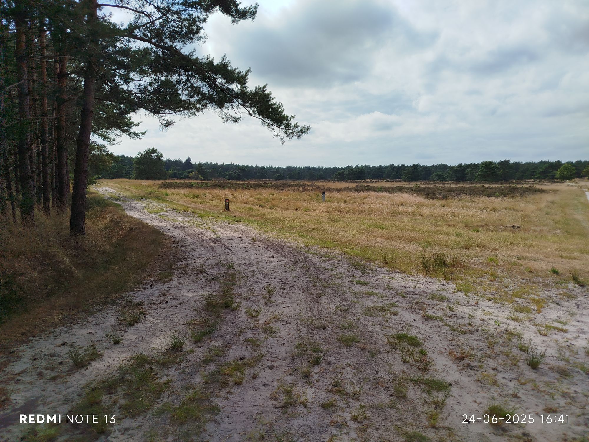
These two feet sign is to connect the trails. 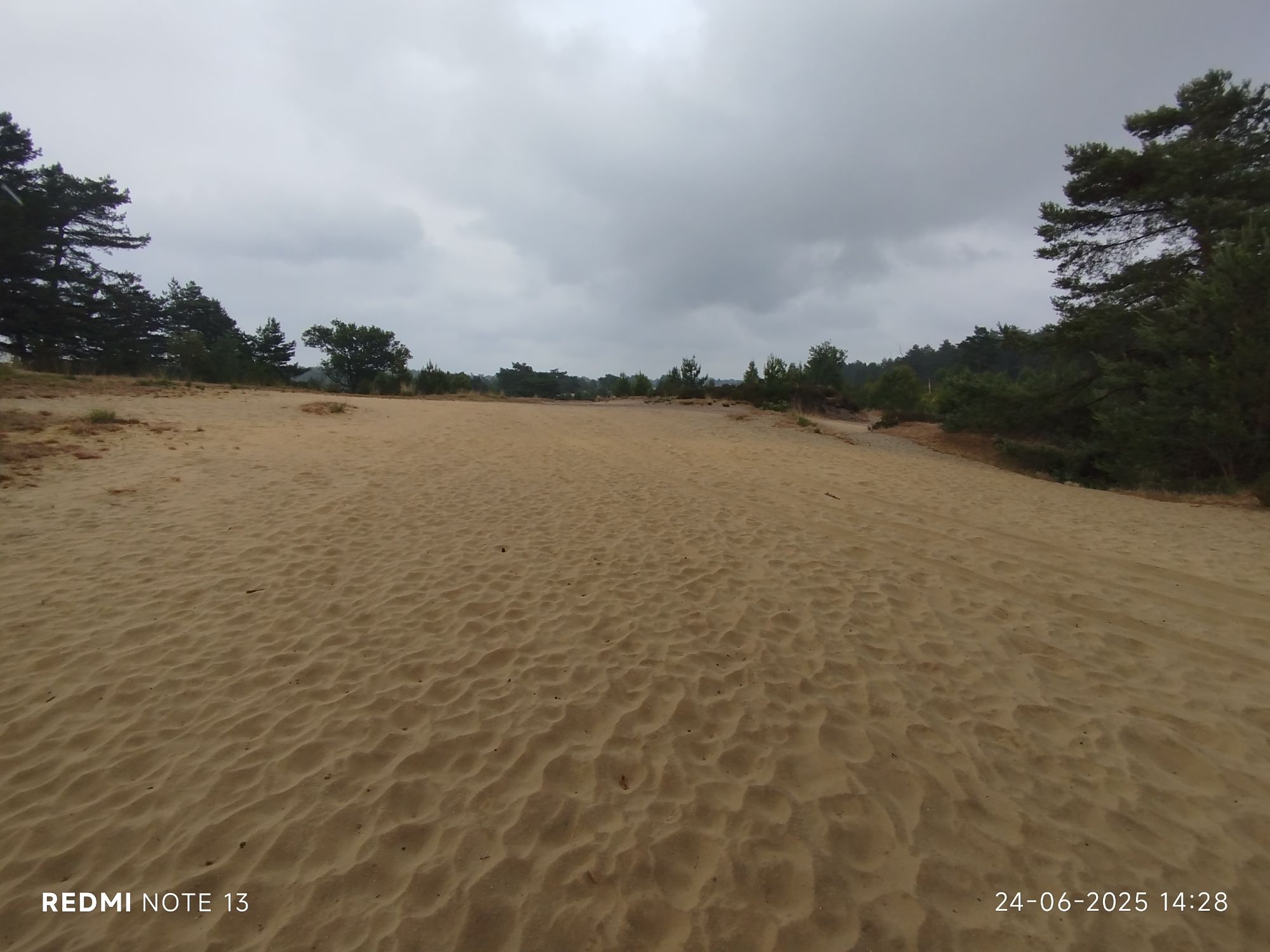
My fav underground, it adds an extra cushion to my feet. 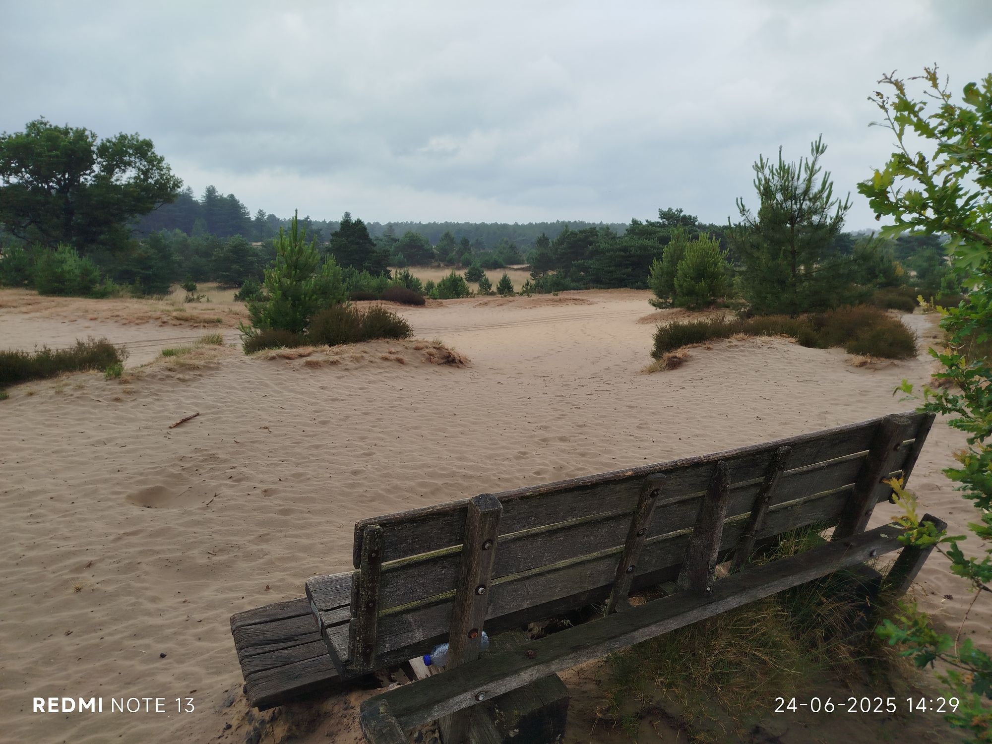
Too bad people need trash bins all over. An empty water bottle is even too heavy to carry back… 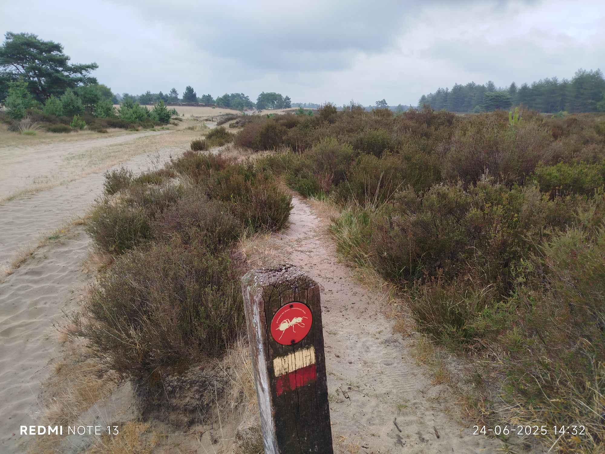
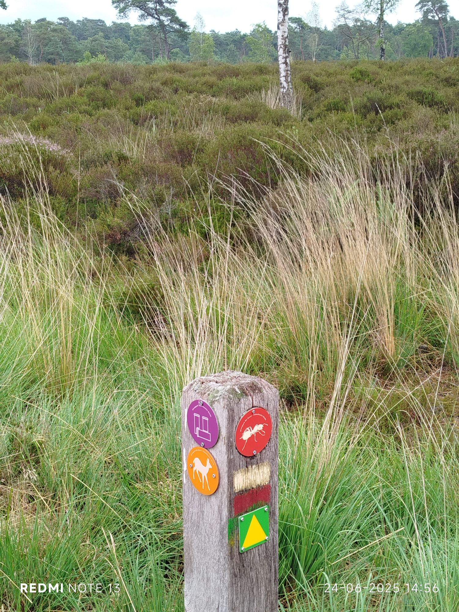
Reached Ant trail. 
You might have guessed this scared me sh!tless. 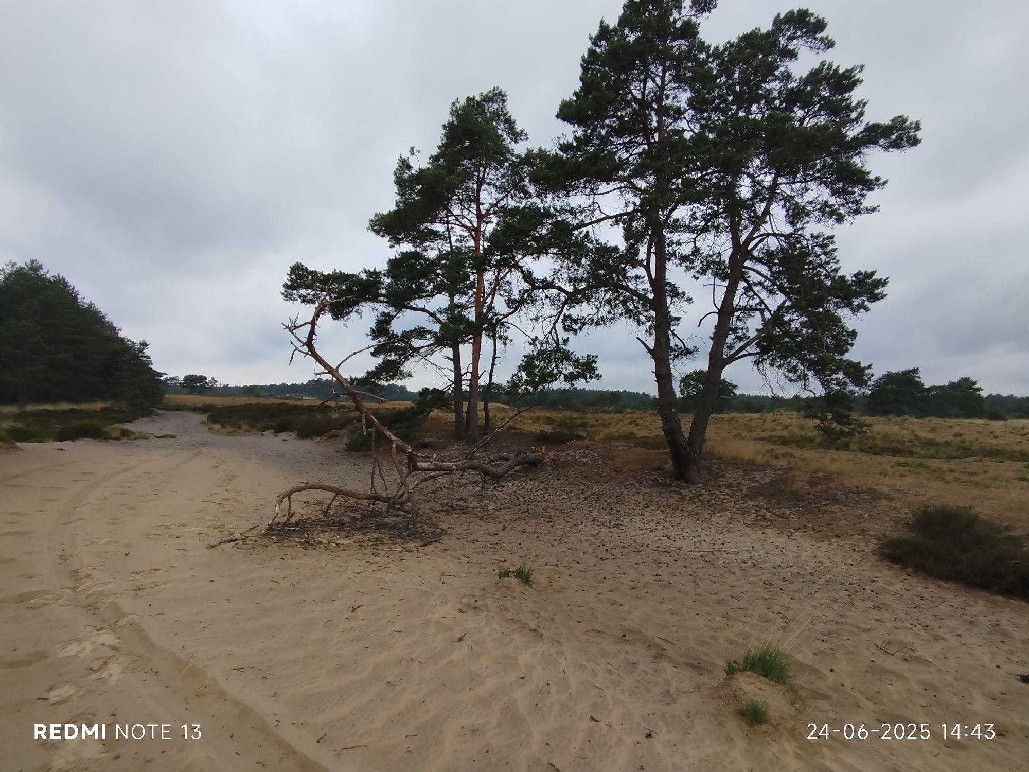
Death is life #2 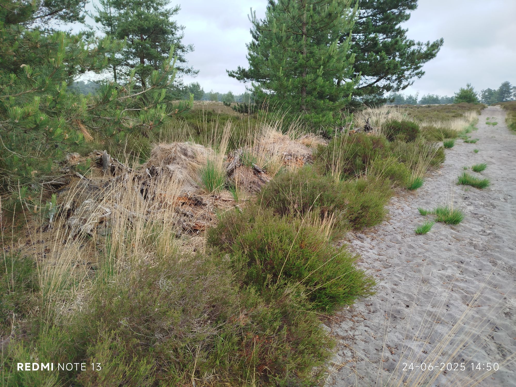
Death is life #3 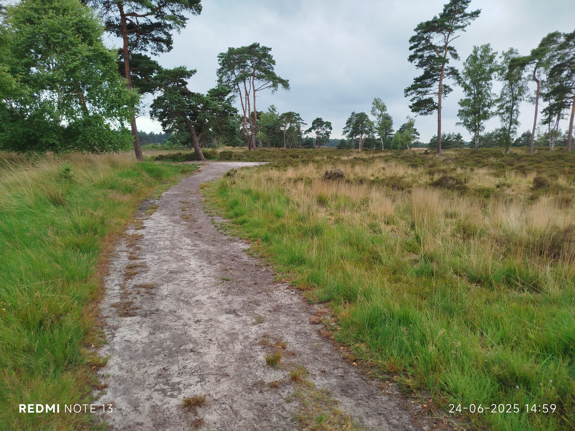
Three of my fav trails. 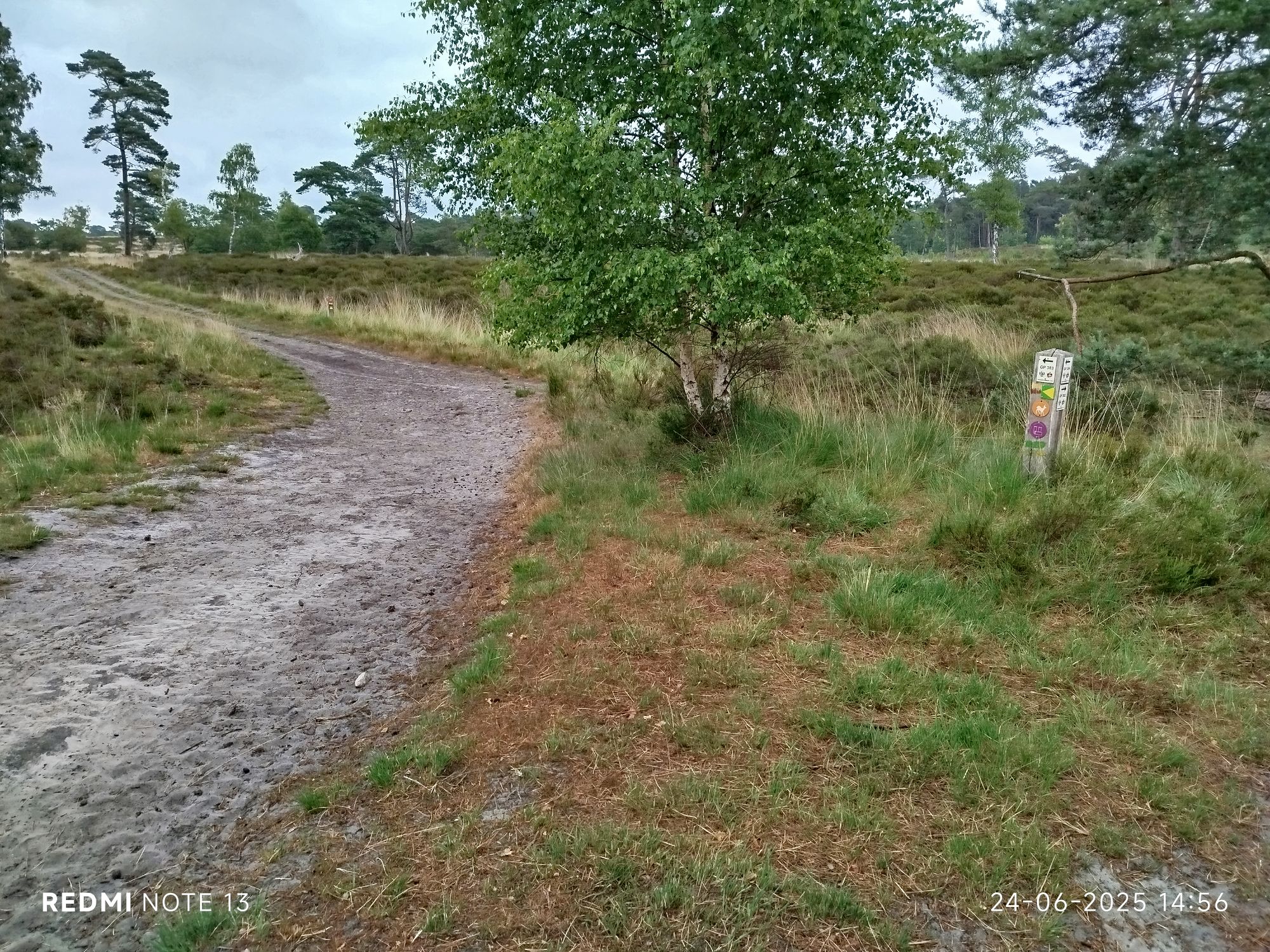
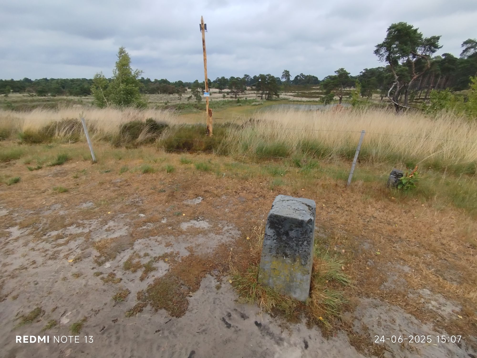
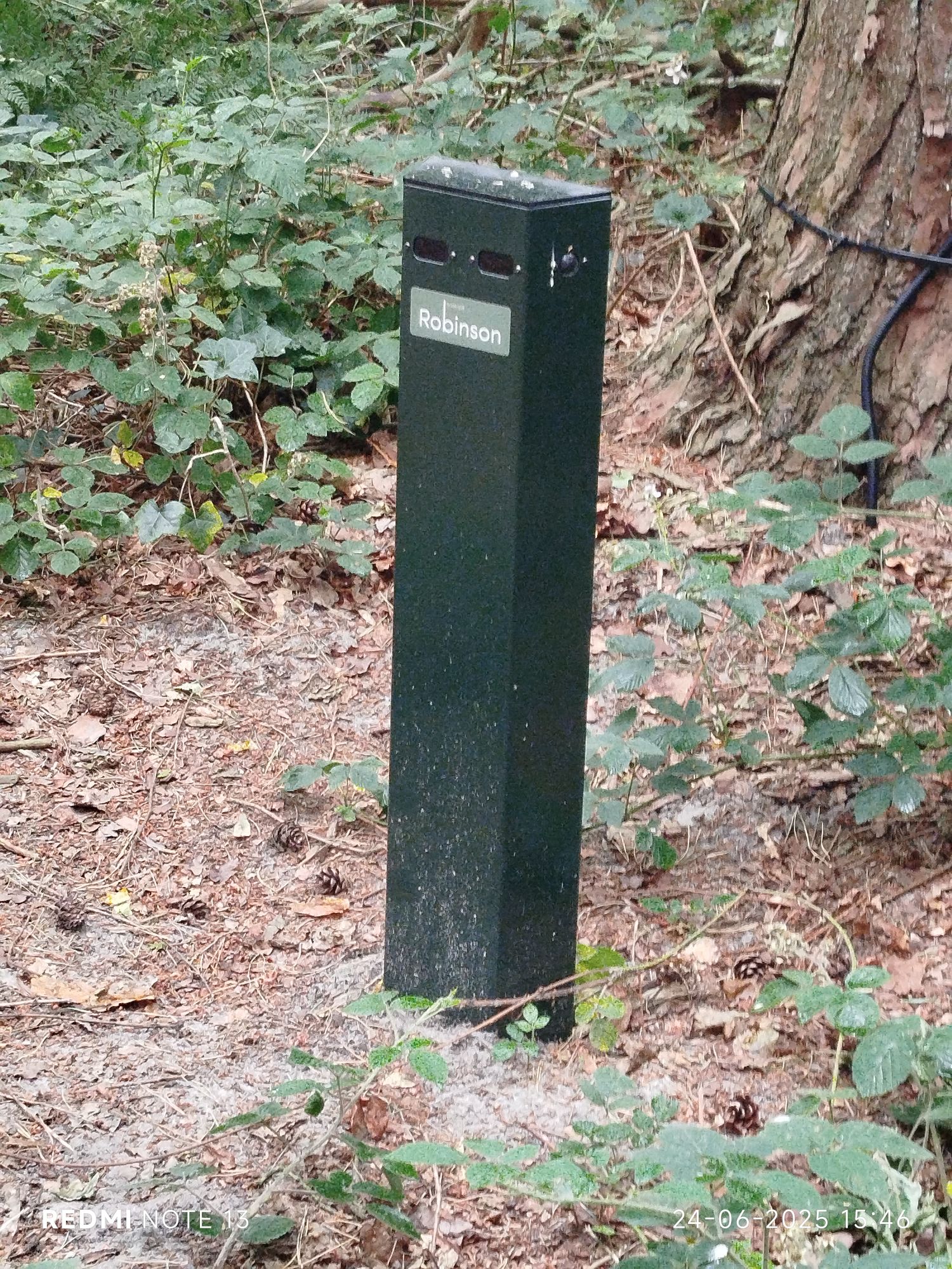
“Paalberg” (pole, pillar or post hill), not the wooden stake, that’s a recent addition to measure air quality. 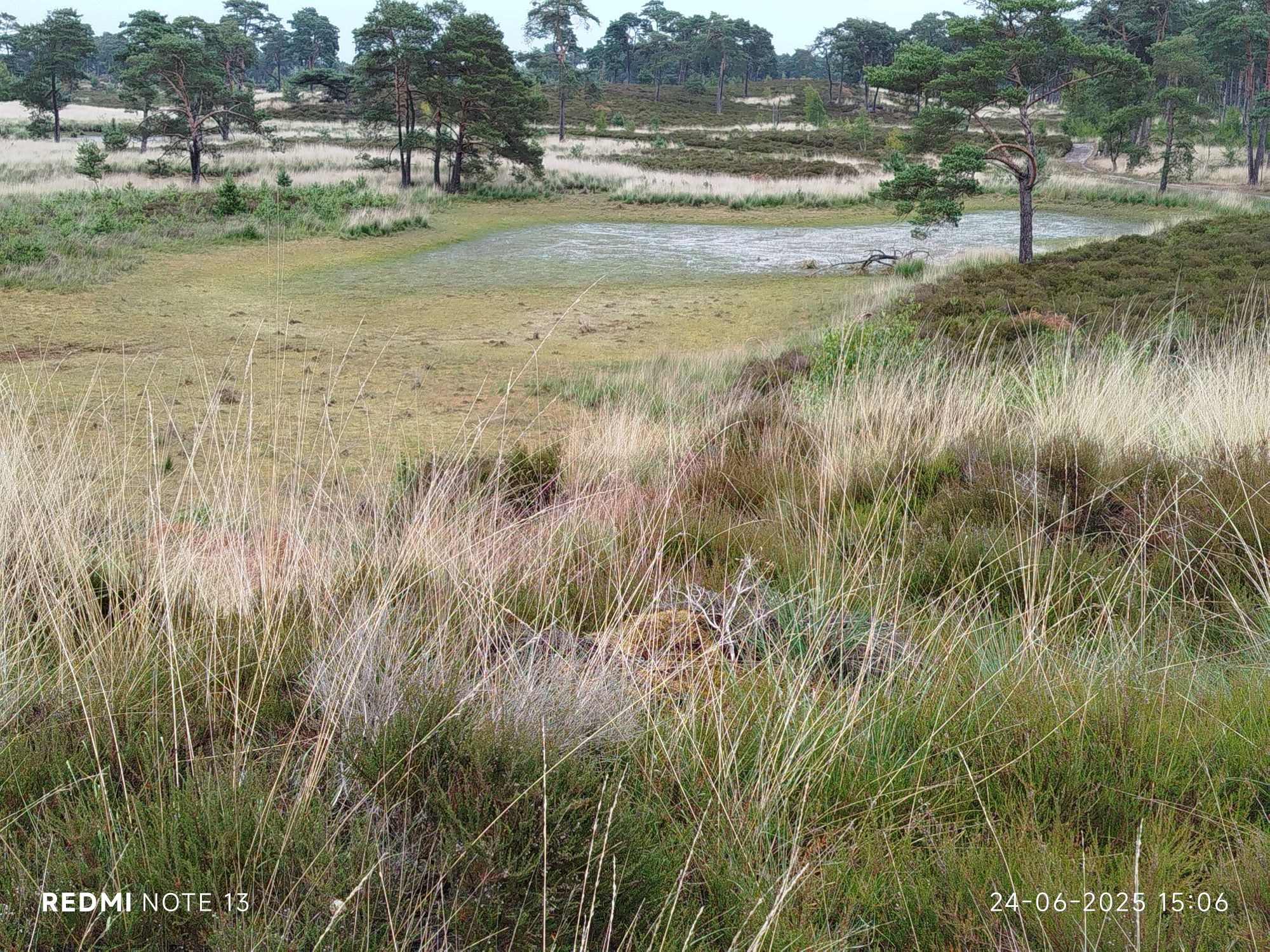
“Kriekelaarsven” (old name for “kersenboom” , literally: cherry tree fen) or what is left of it… 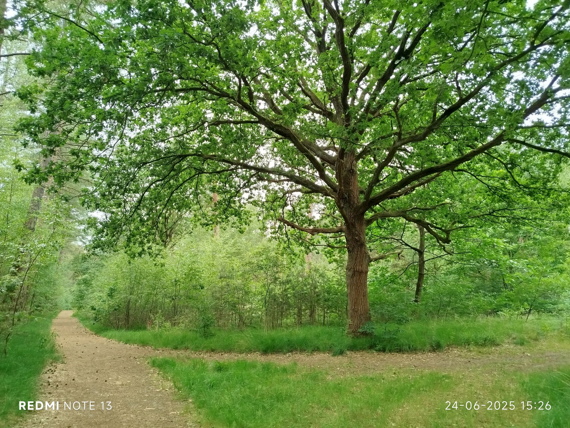
Some trees are just majestic 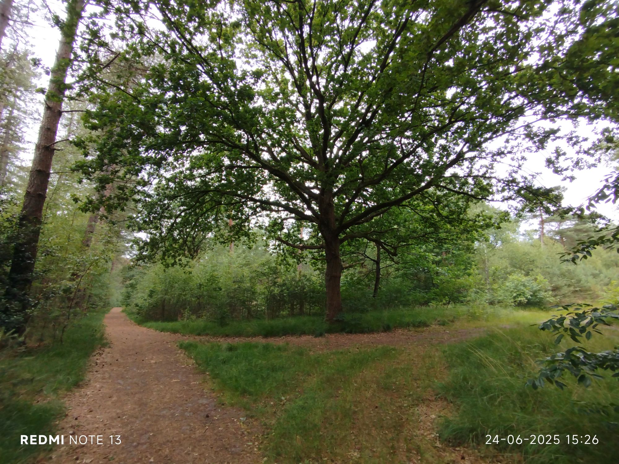
Errr, I never play with filters or any settings… 
This one registers visitors. I noticed birds prefer them as well. I wonder if someone is tasked to clean them once a while. 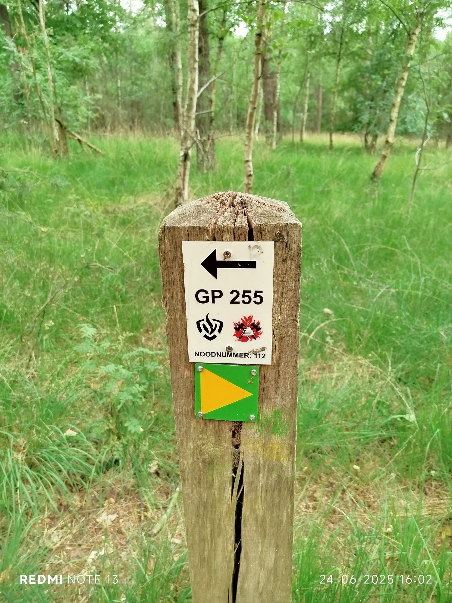
Unfortunately there have been many wildfires (accidents and pyromaniacs). Hence the often wide paths to accommodate fire trucks. Including emergency phone number. * 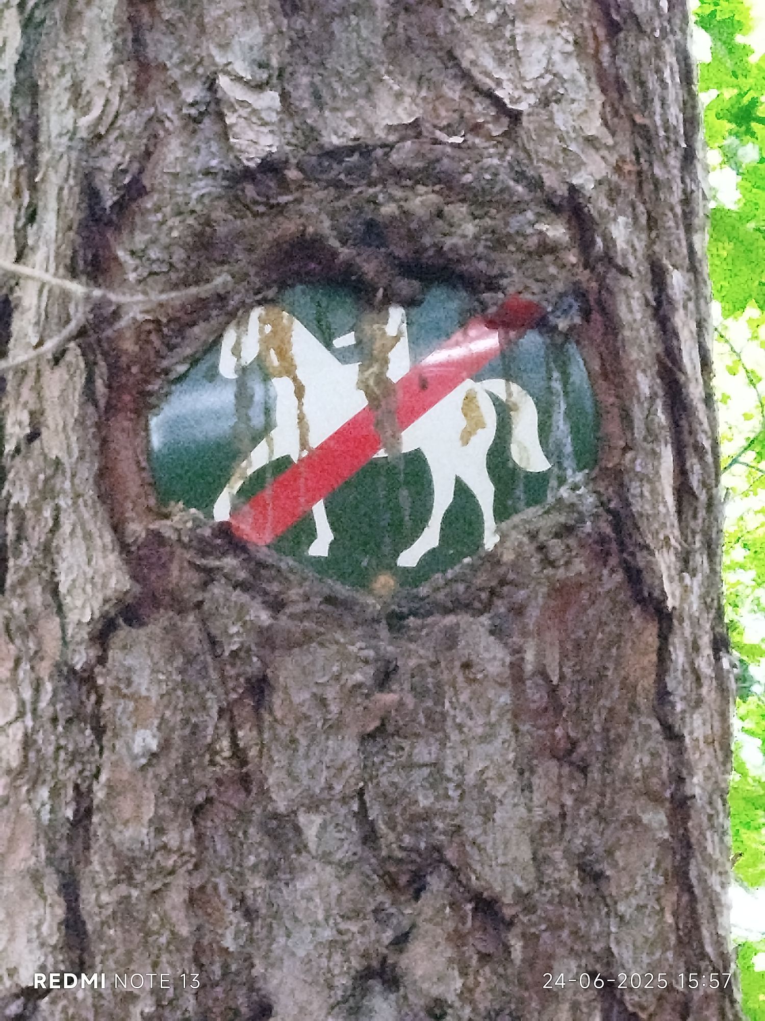
Force of nature 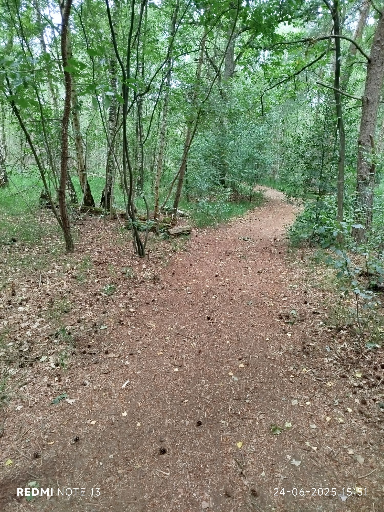
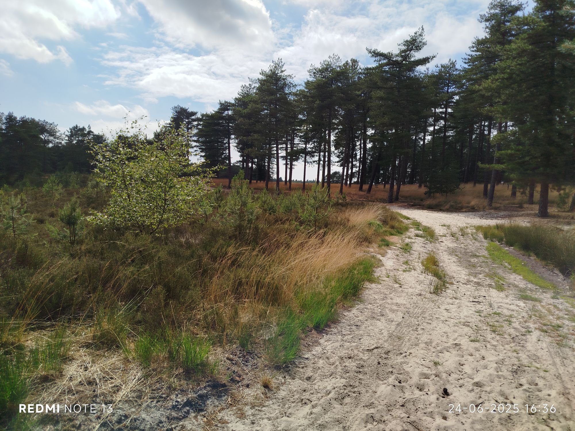
Love these curvy paths. 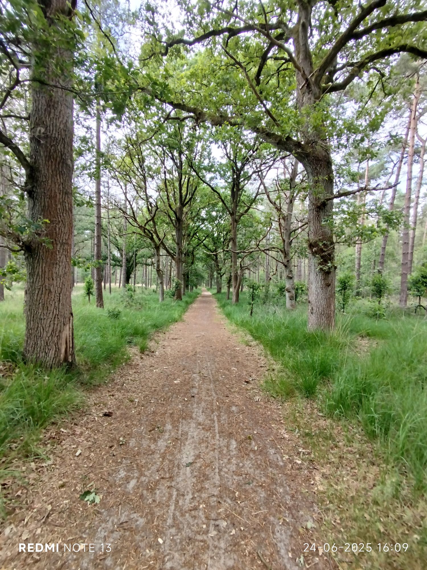
Slightly less natural. 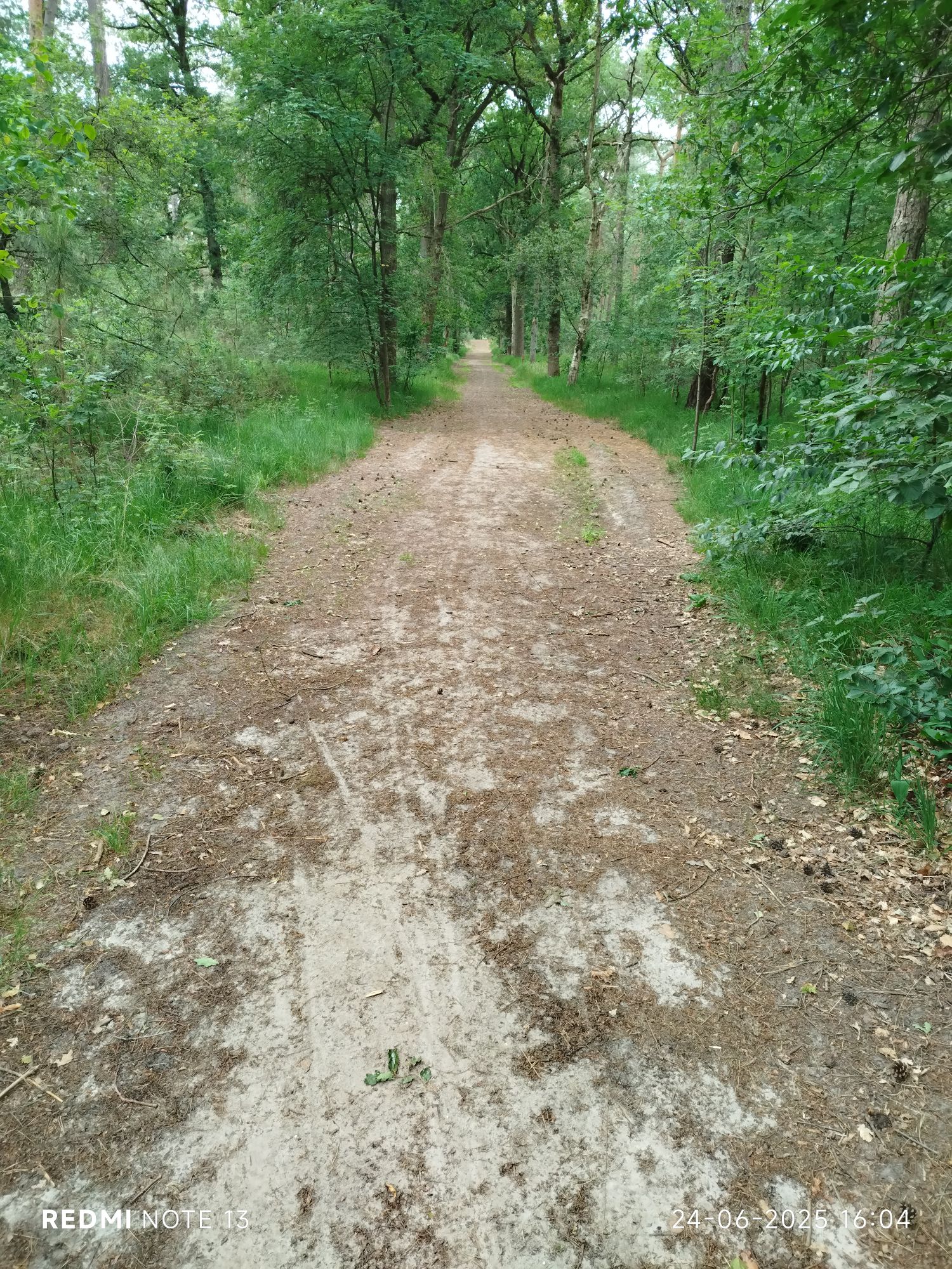
Here is an example of a path artificially widened during muddy periods. 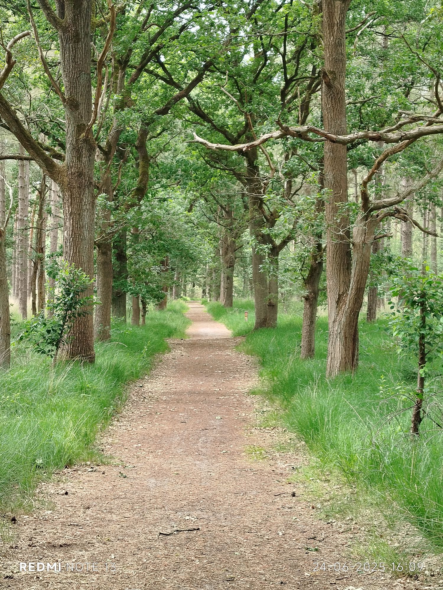
Walked here in winter and then the trees might scare you. 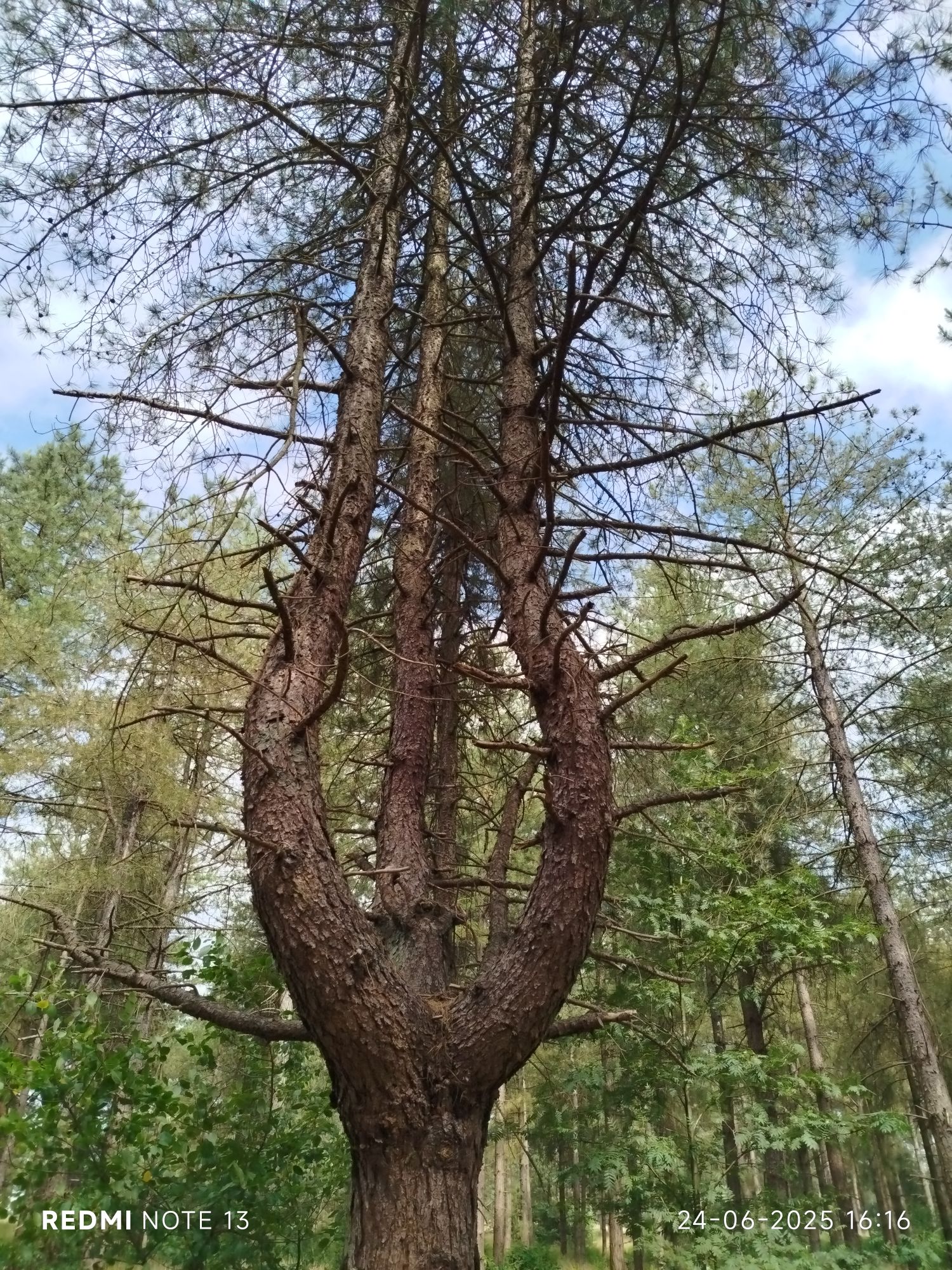
piece of art, no? 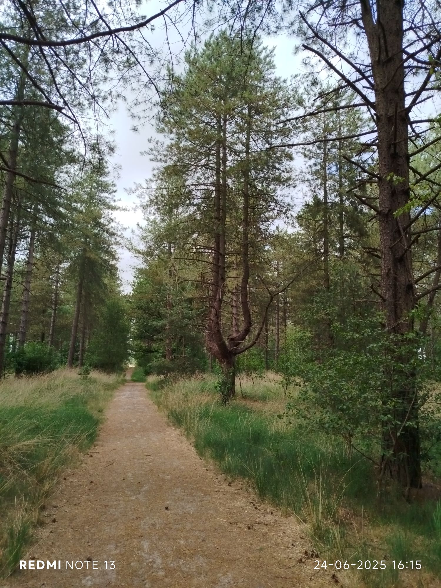
Not too sure if completely natural though. 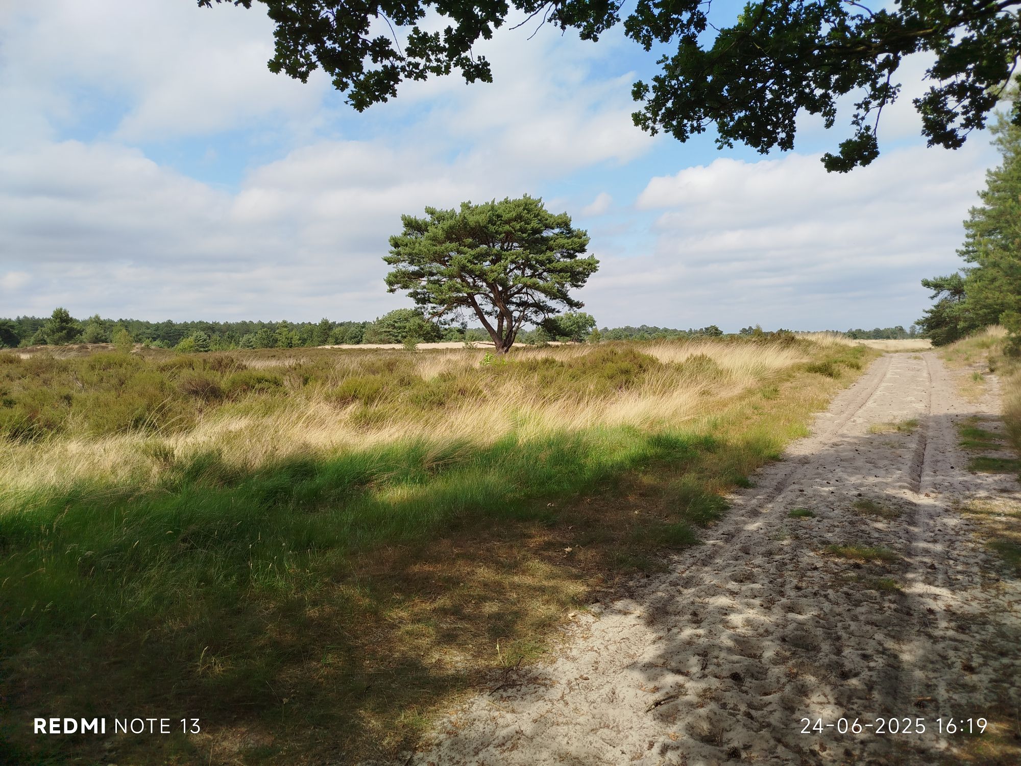
This is the moment I regret not bringing sunscreen. 
Heather in the sun 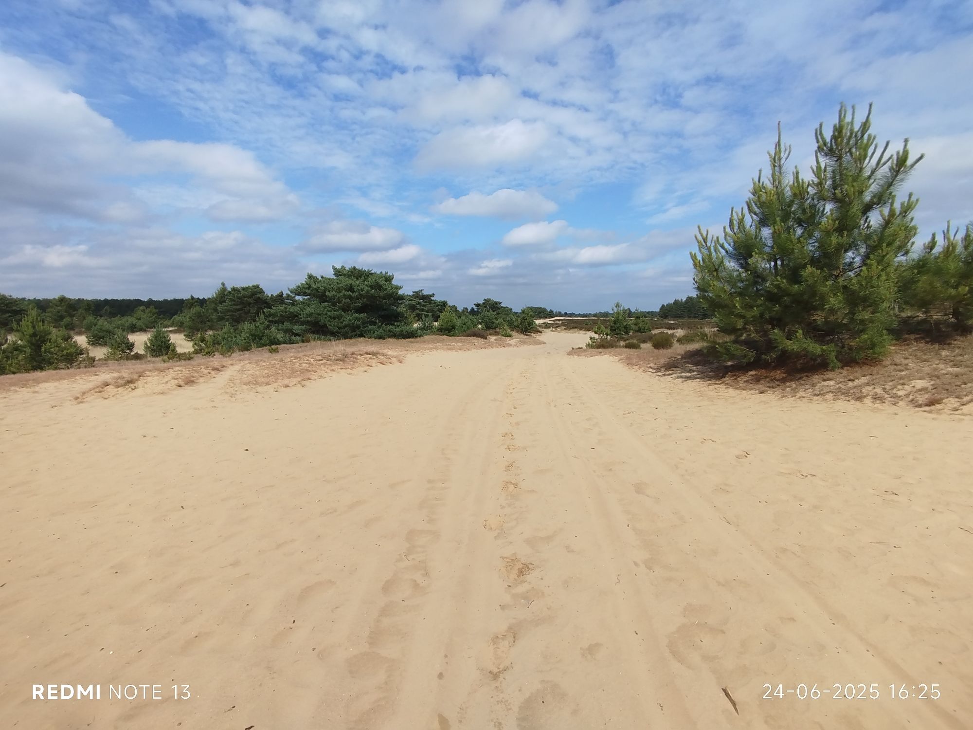
Loose sand adds to difficulty. 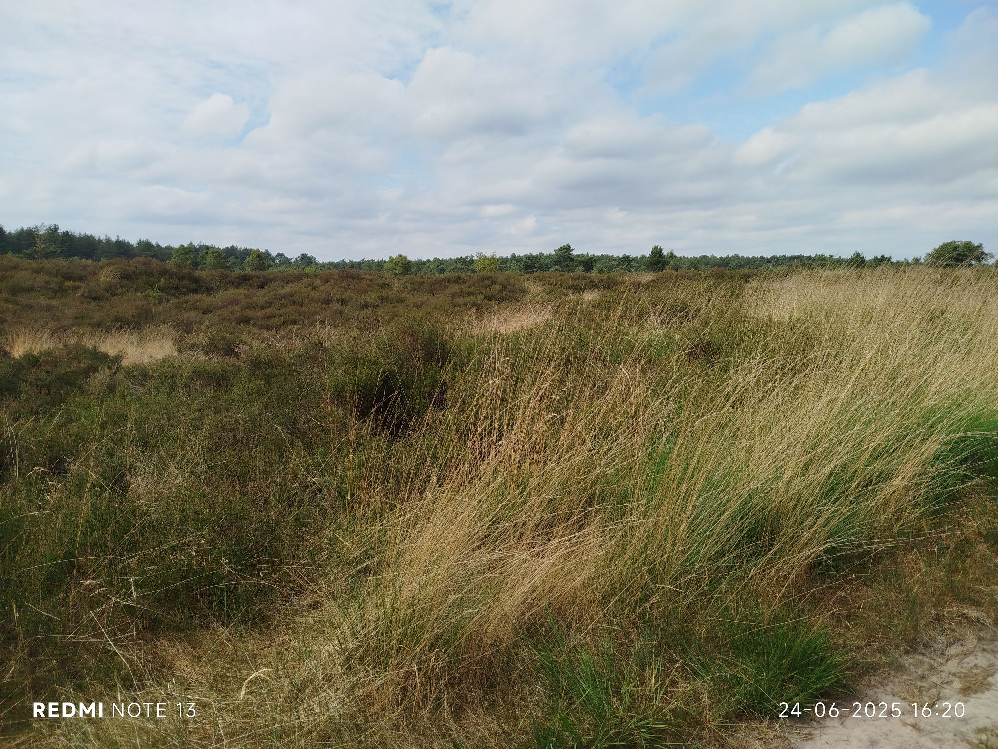
Walking off trails is not allowed. The risk of ticks is enormous. 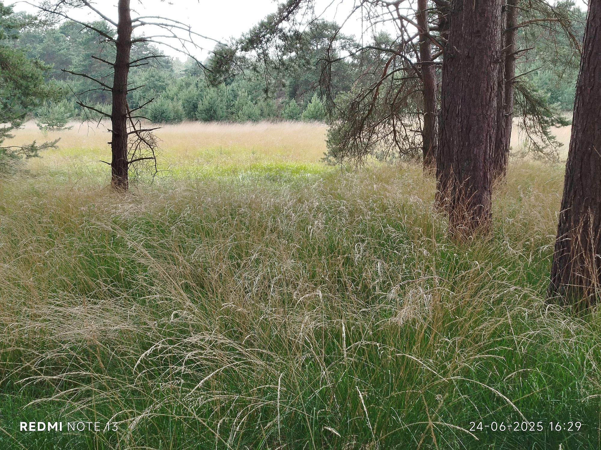
Walking off trails is not allowed. The risk of ticks is enormous. #2 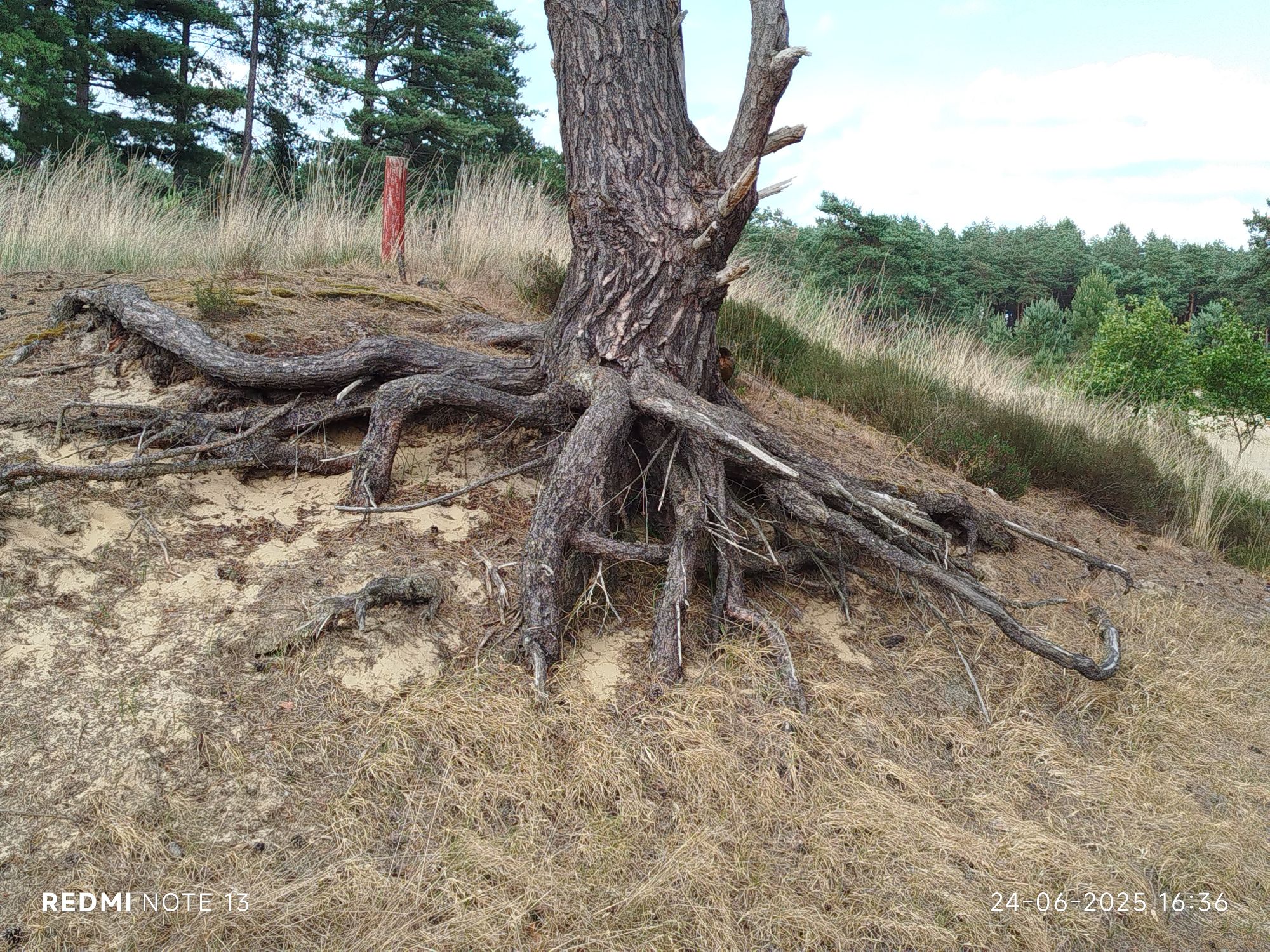
Walking off trails is not allowed. The risk of ticks is enormous.#3 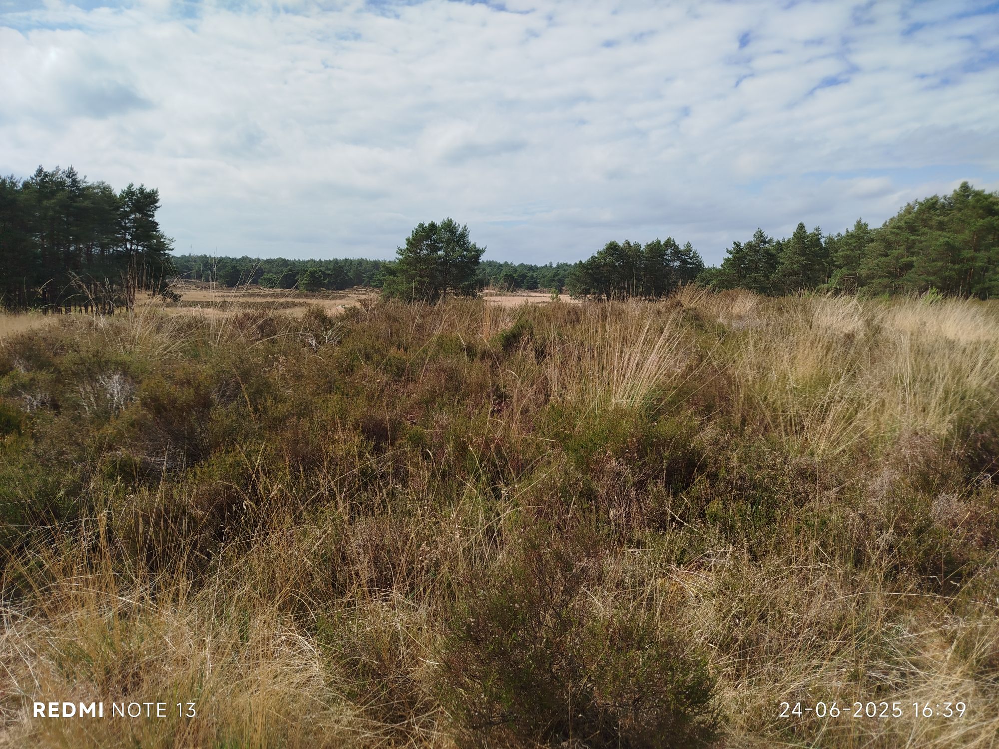
Walking off trails is not allowed. The risk of ticks is enormous.#4 
In regards to wildfires I would like to add that our region is quite vulnerable and we recently got worrying news:
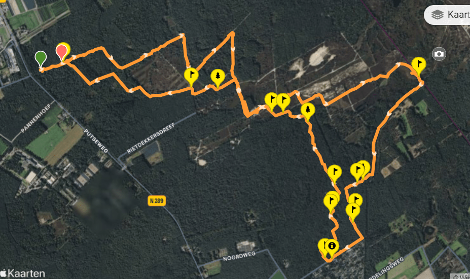
On the top right is the BE/NL border. The complete walk was on Dutch territory. On the bottom right is a camping site and restaurant/tavern (pancake restaurant De Heusche Bollaert, no English site though) although it appeared to be closed today.
